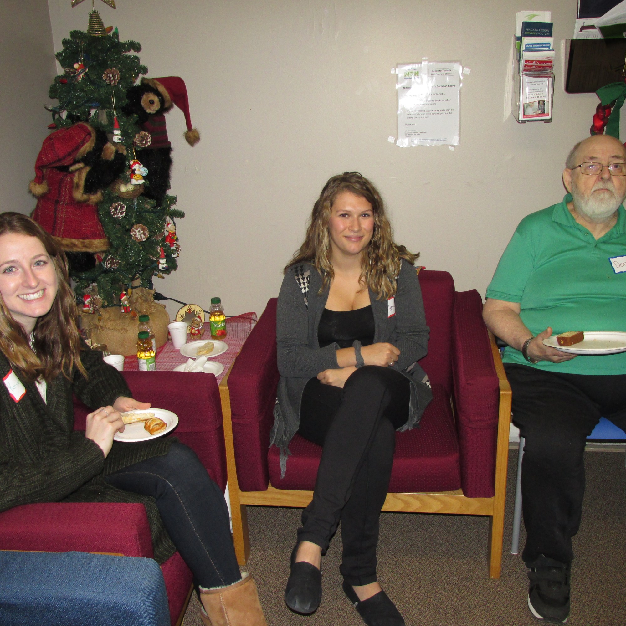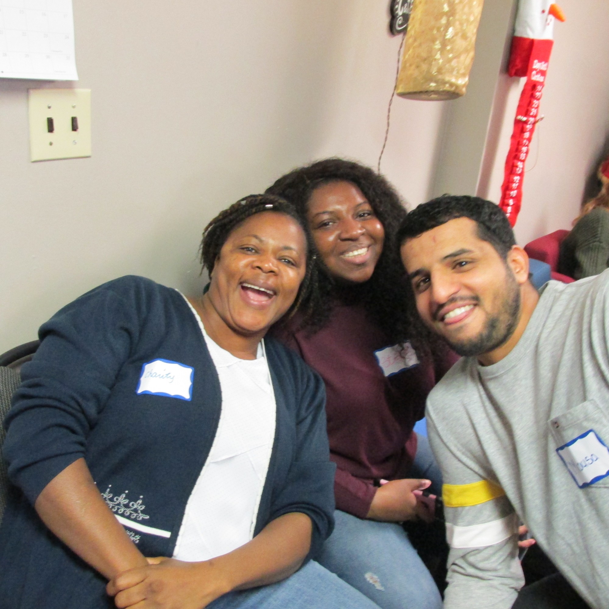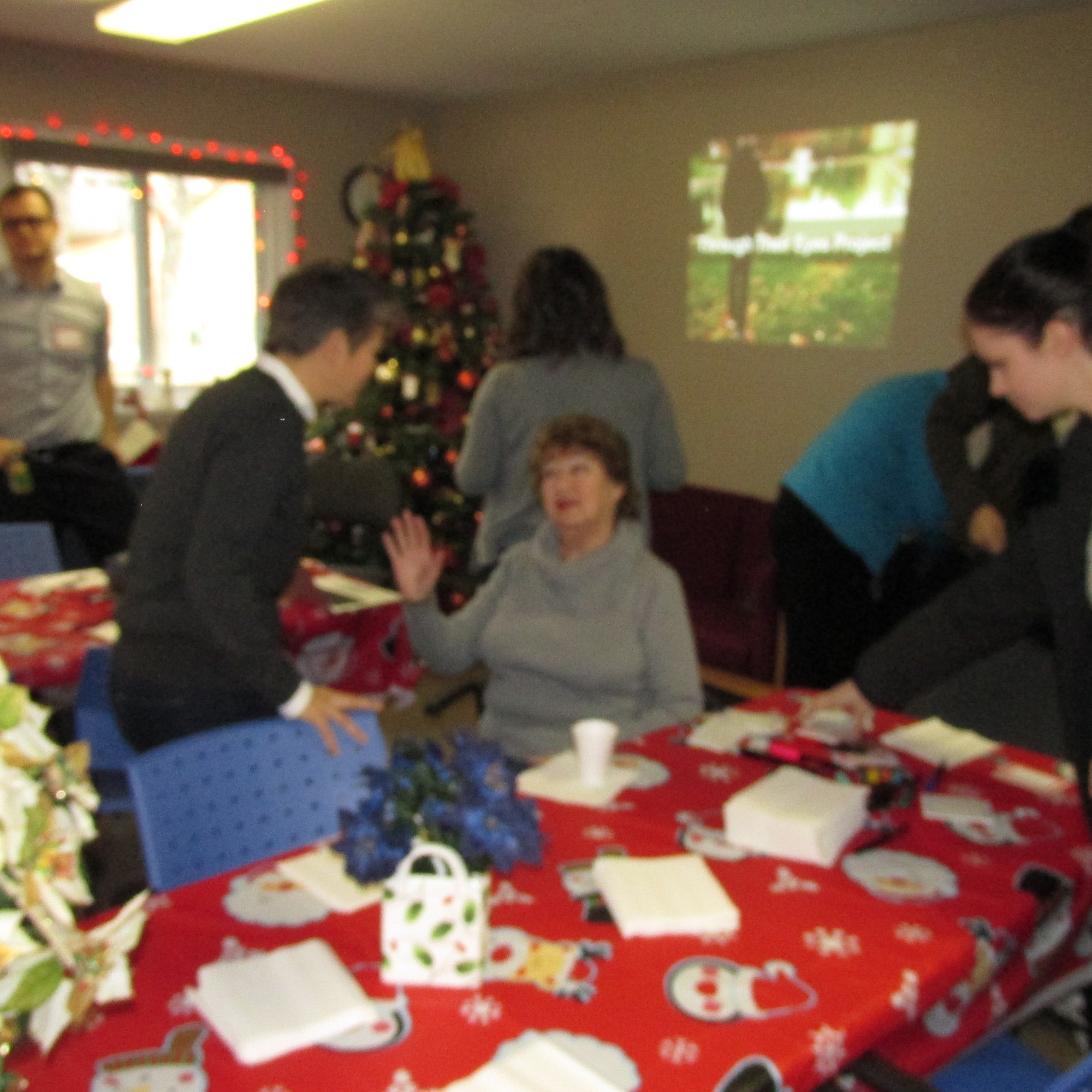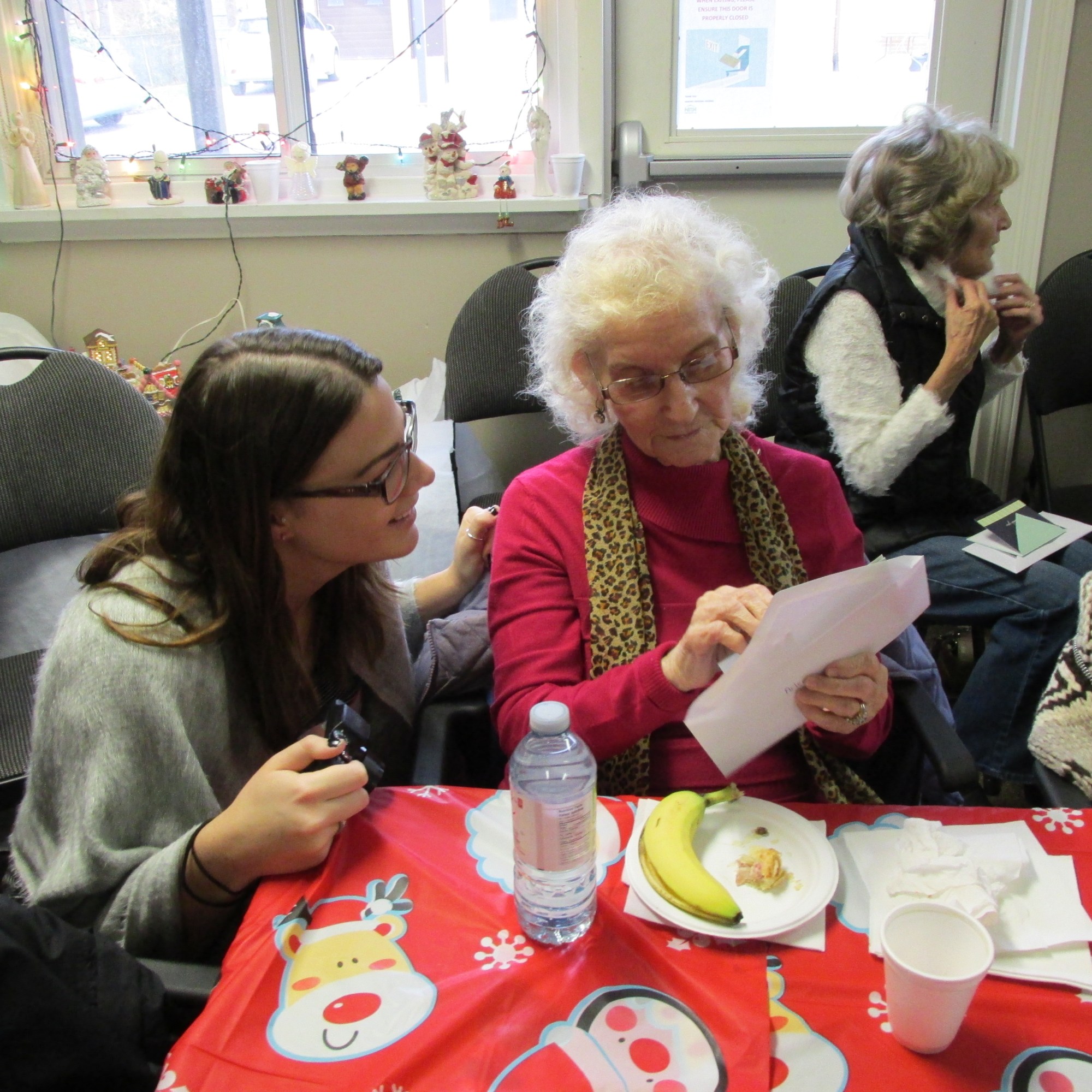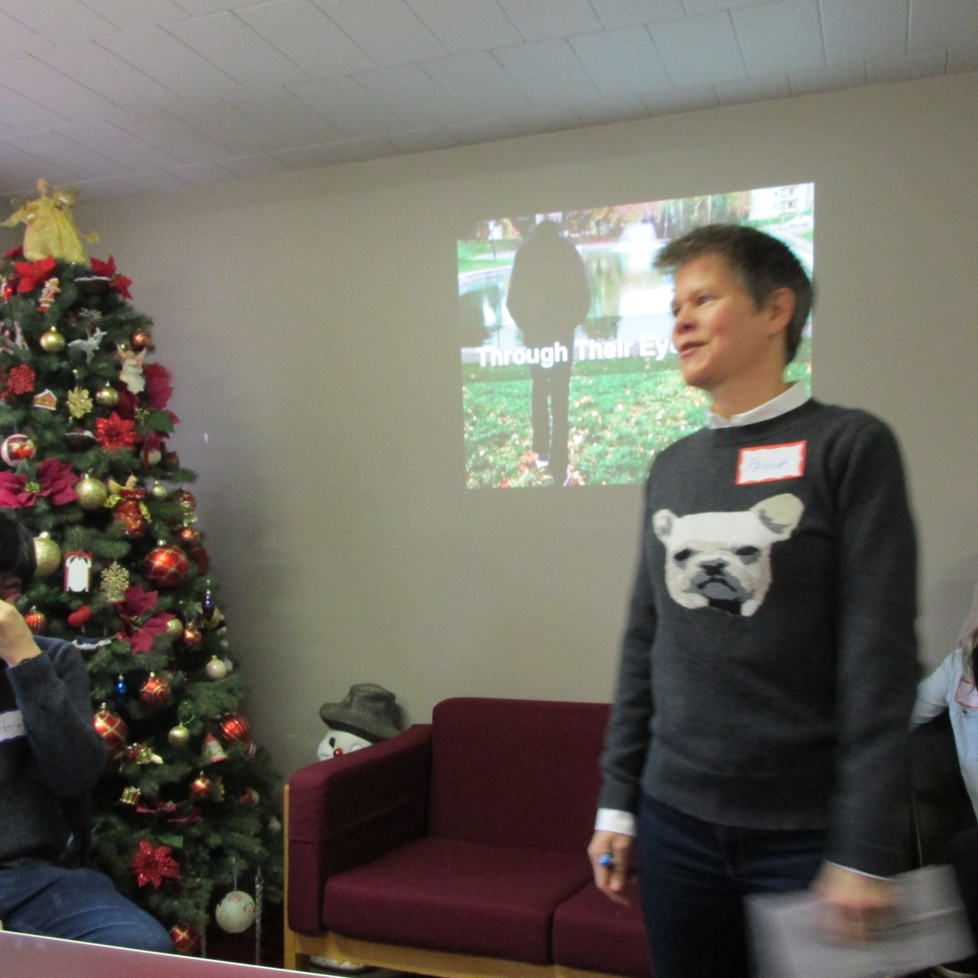
In partnership with Niagara Regional Housing (NRH), Dr. Pauli Gardner and their students teamed up with senior residents living in the units of 124 and 140 Elmview Street in Welland, Ontario. As with previous years, each student applied the knowledge, tools, and resources learned throughout the course to see through the eyes of the city’s senior citizens in order to evaluate the age-friendliness of their community.
2016 Project Overview
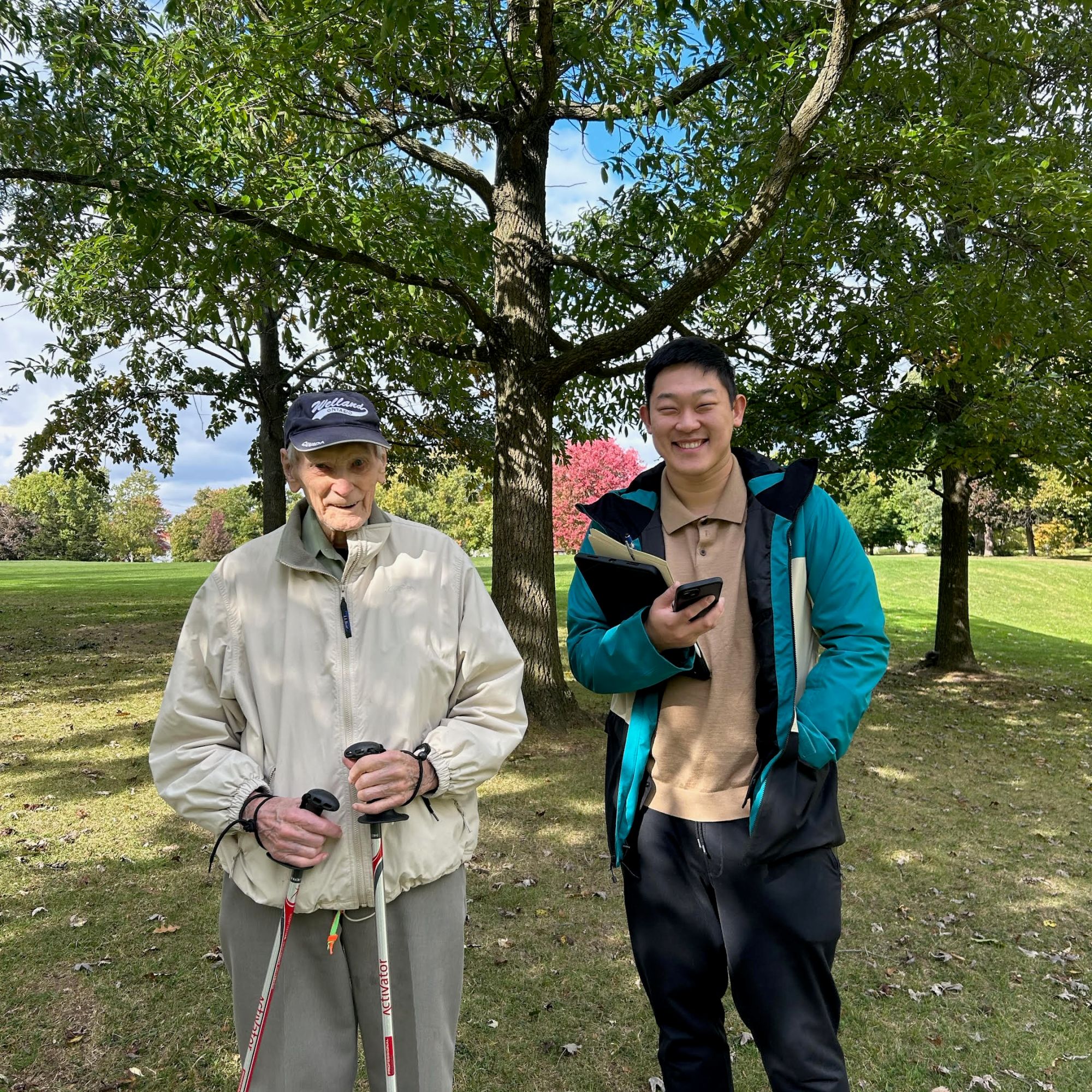
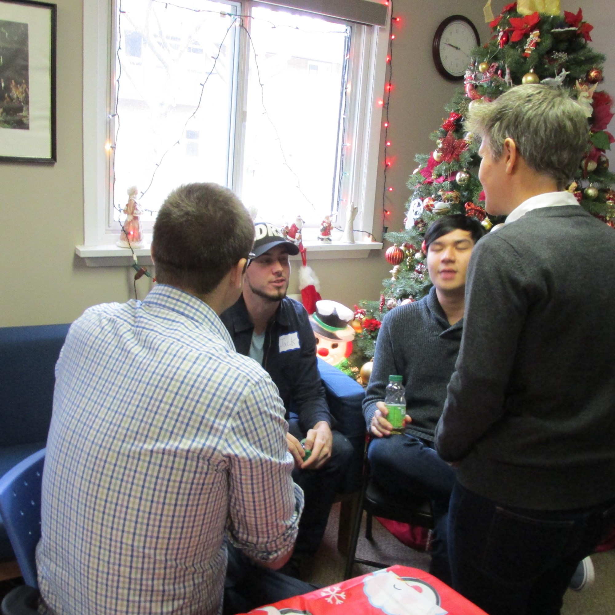
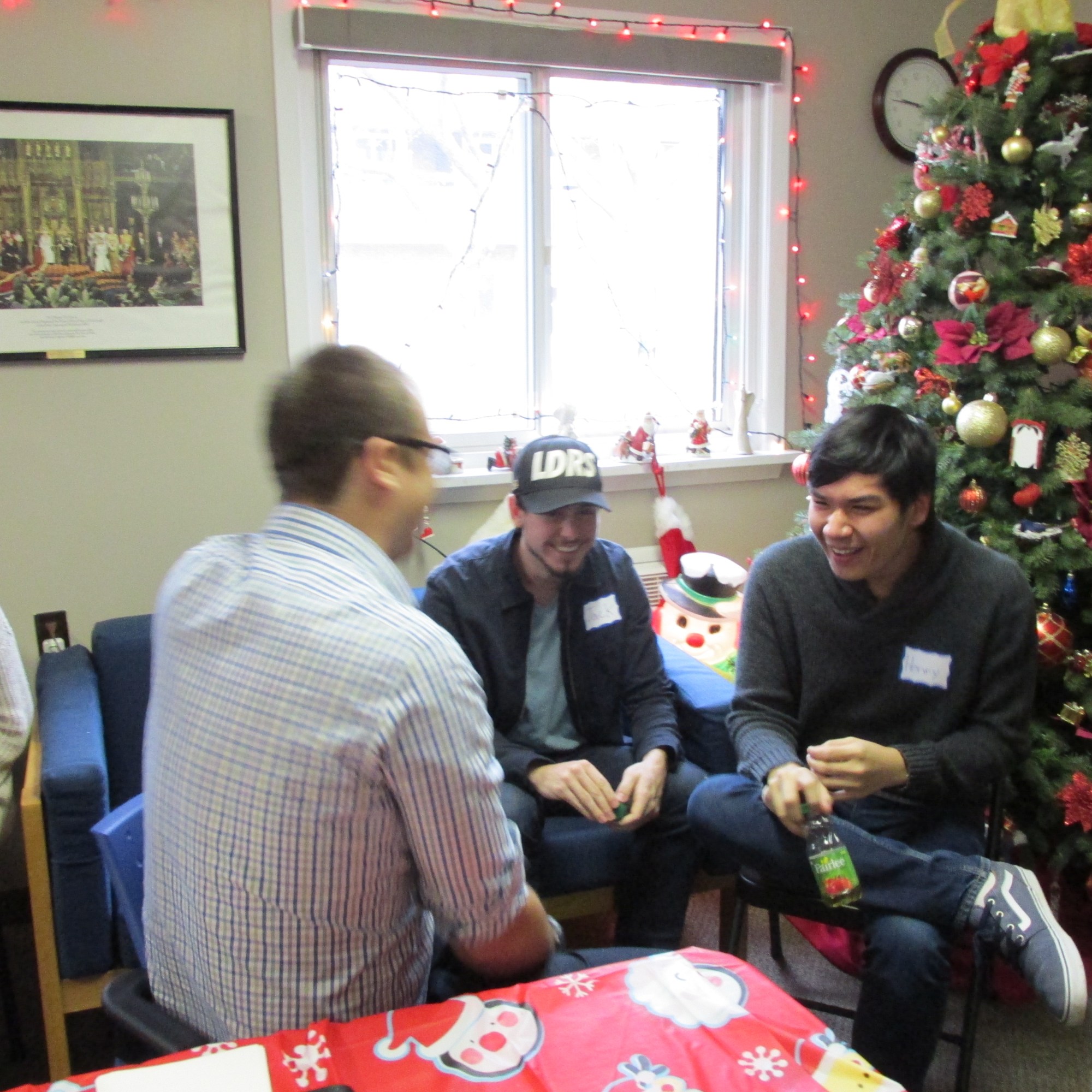
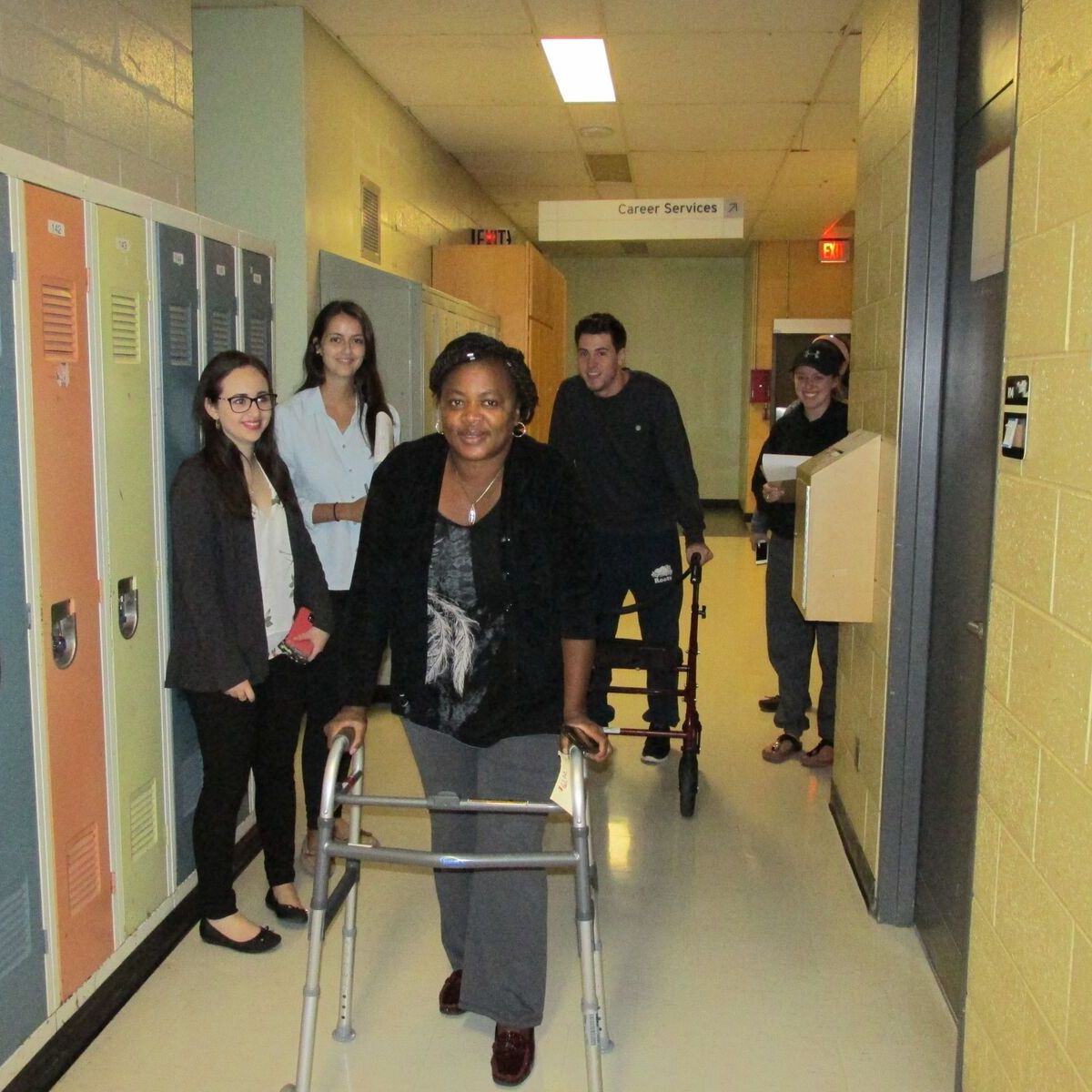
24 students were split into 11 groups and paired with senior residents living at the selected sites to form intergenerational teams to gain a better understanding of what makes an age-friendly community through the eyes of the city’s “experts”.

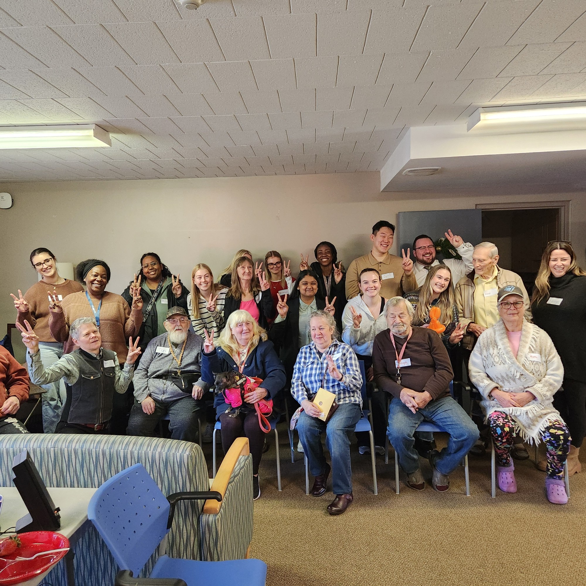
2024 Project Overview
14 undergraduate students partnered with 7 seniors from the residence to gain a better understanding of what makes an age-friendly community through the eyes of the city’s “experts”.
Everyone Benefits and Learns from the Project!
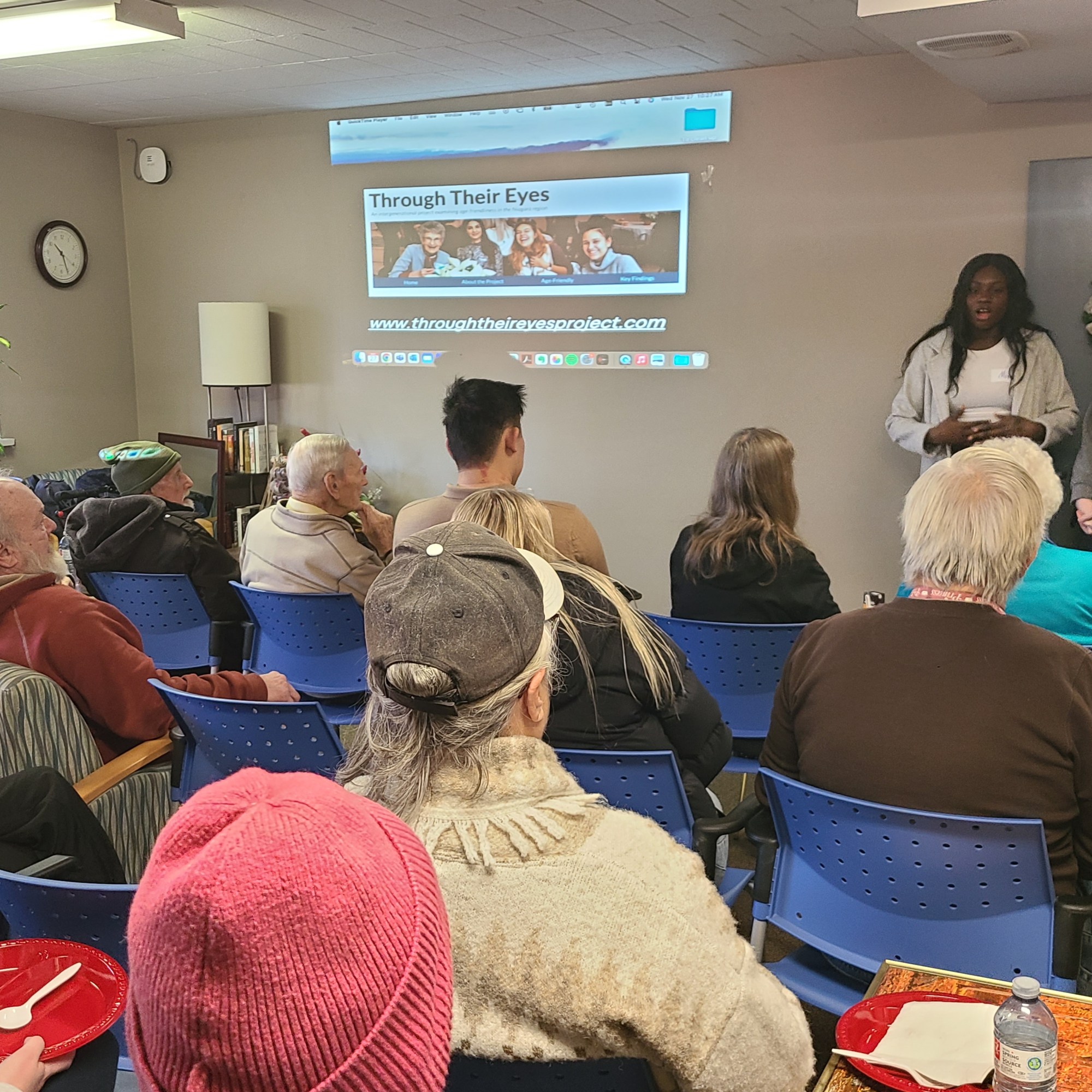
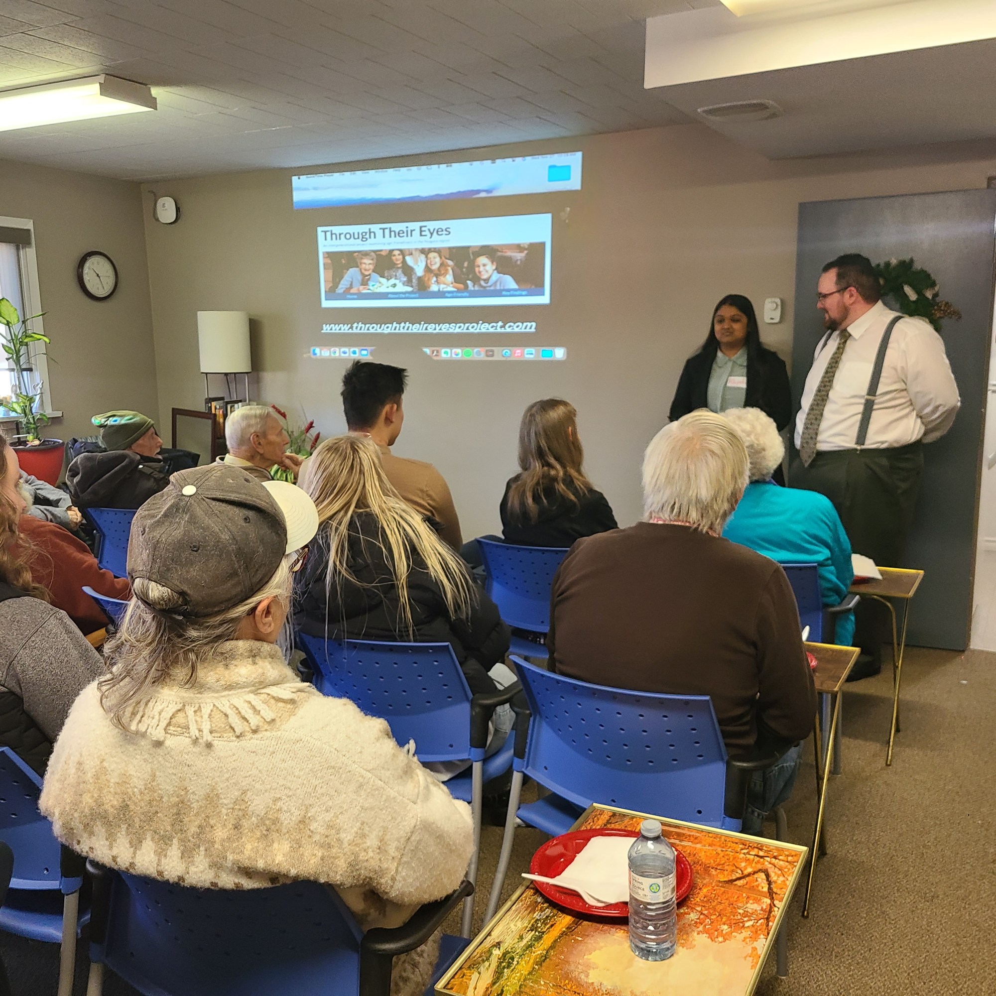
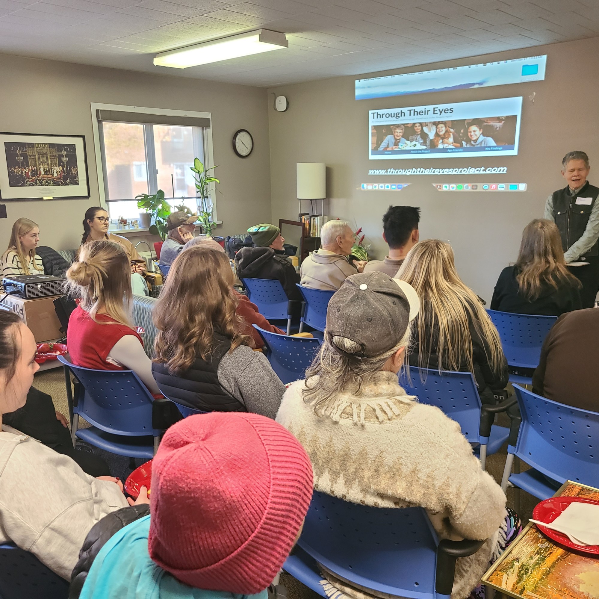
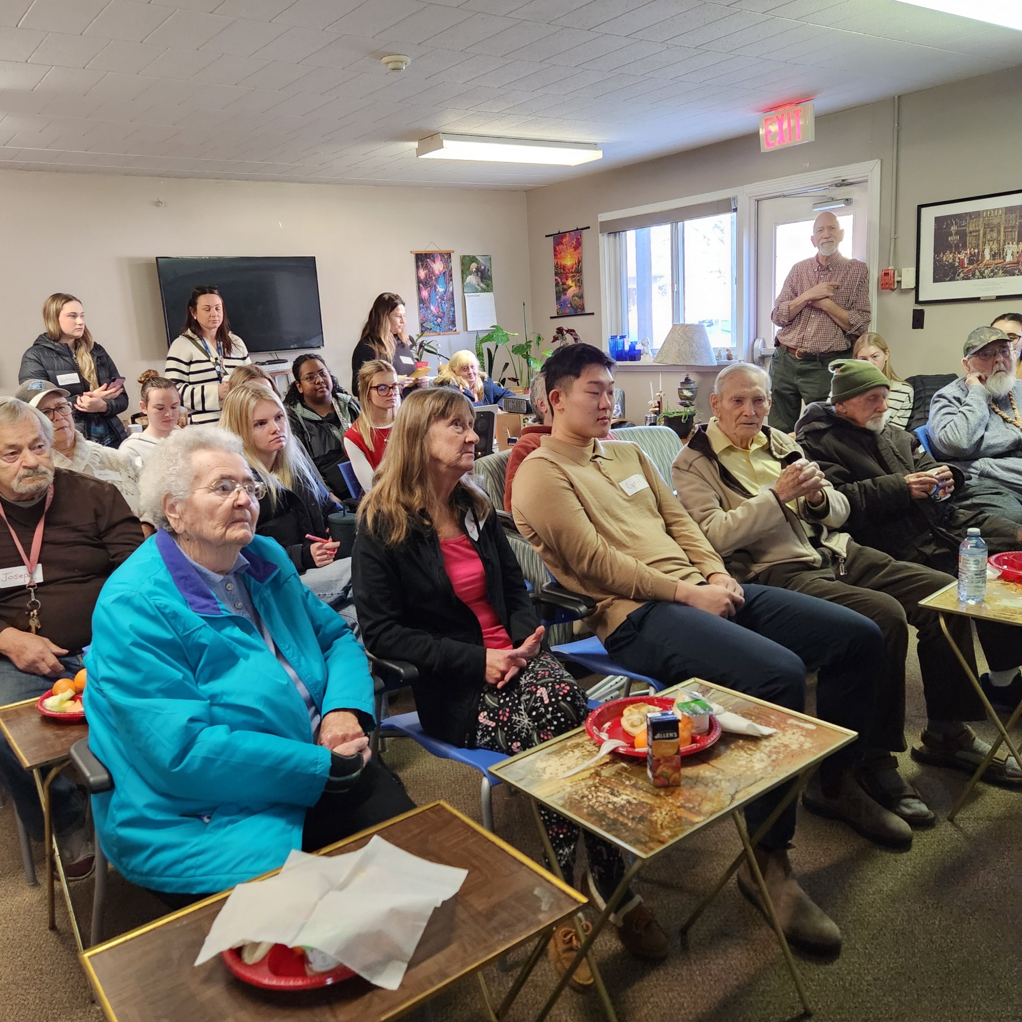
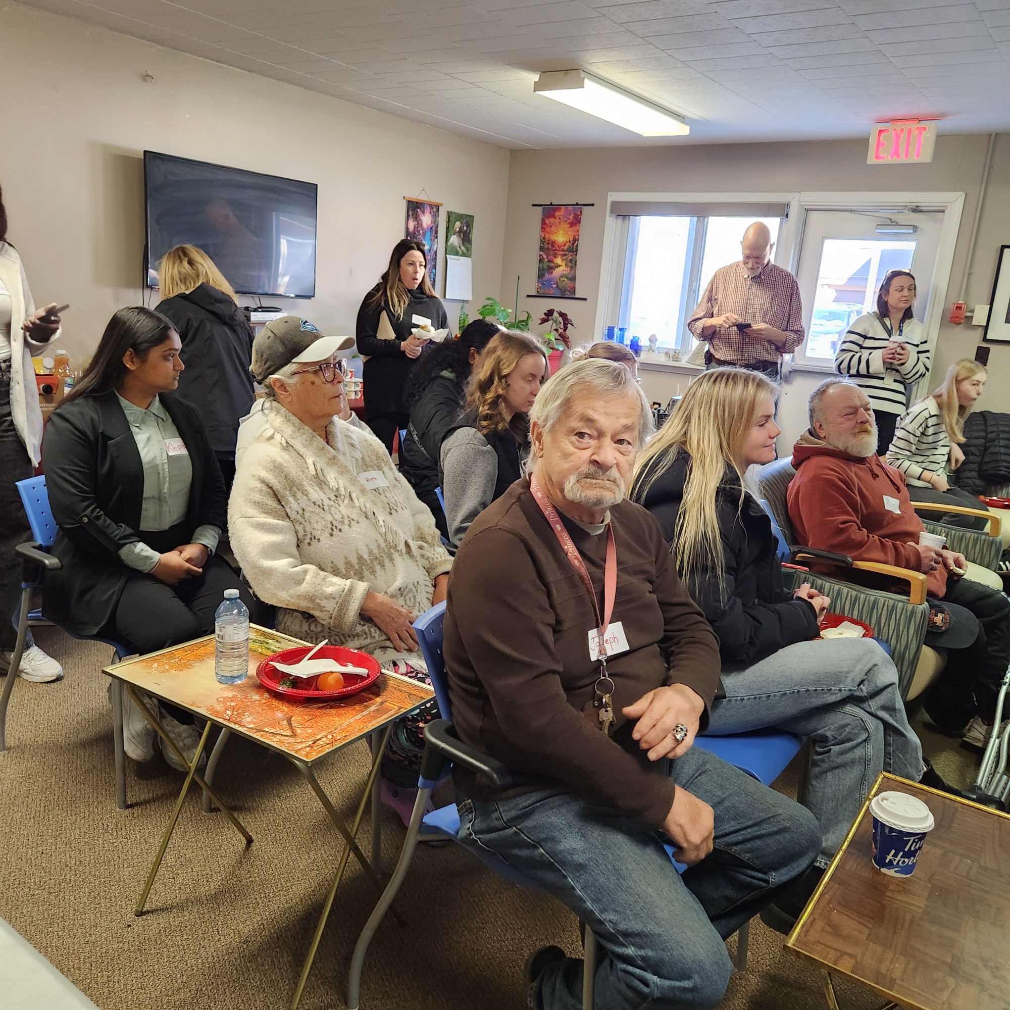
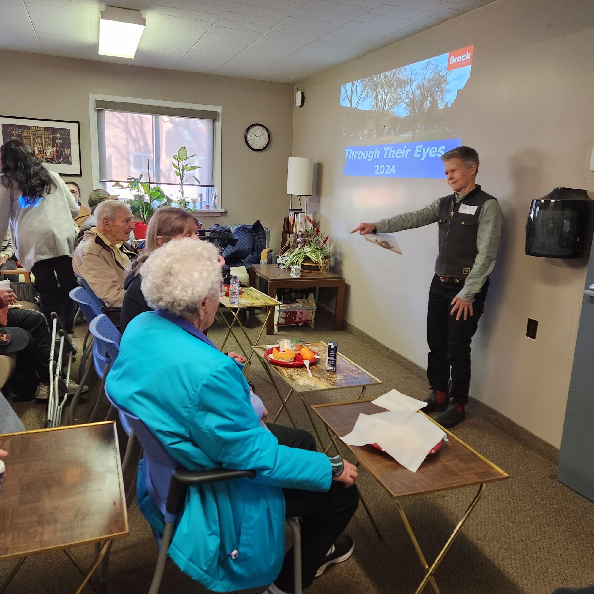
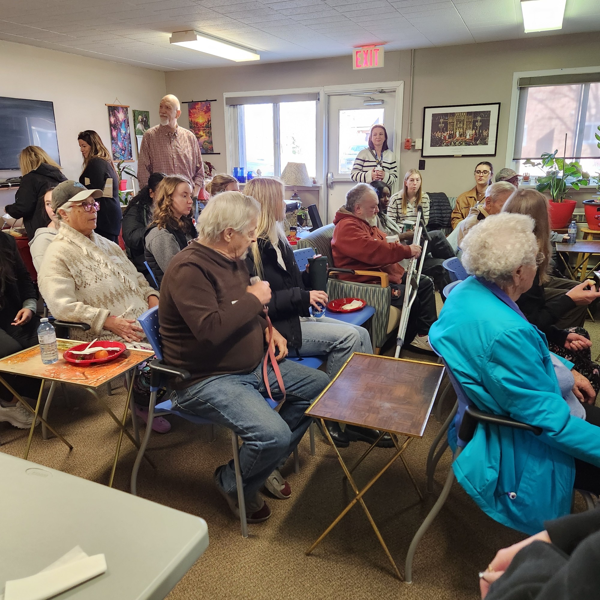
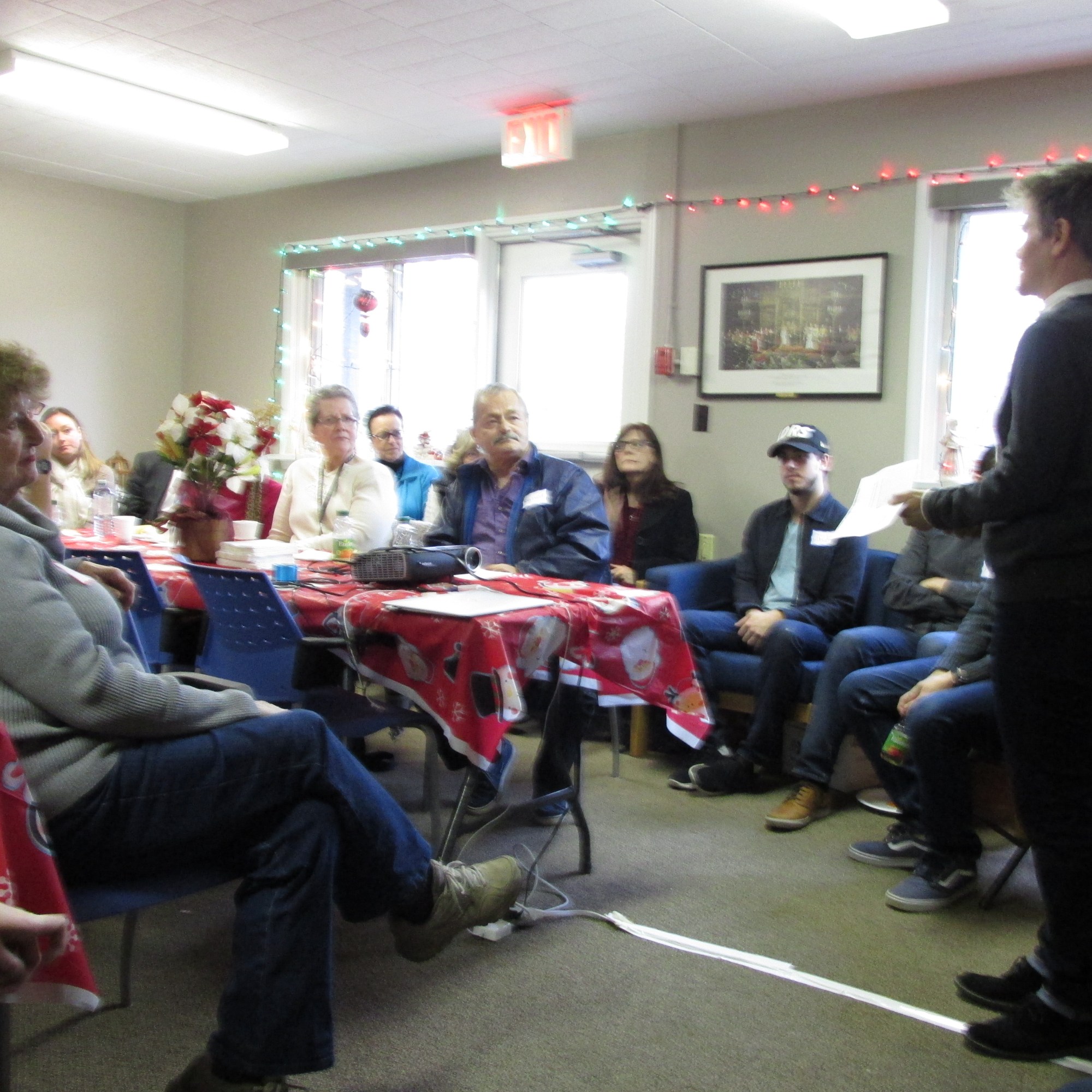
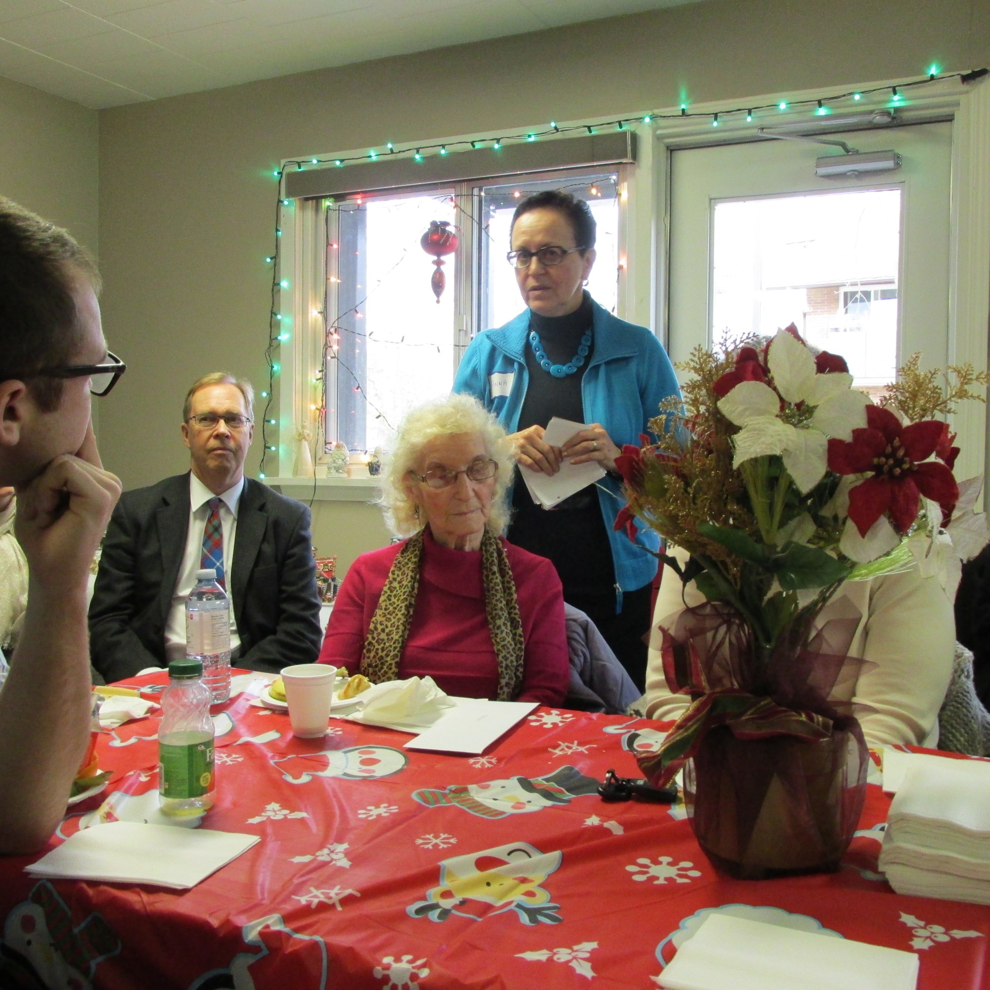
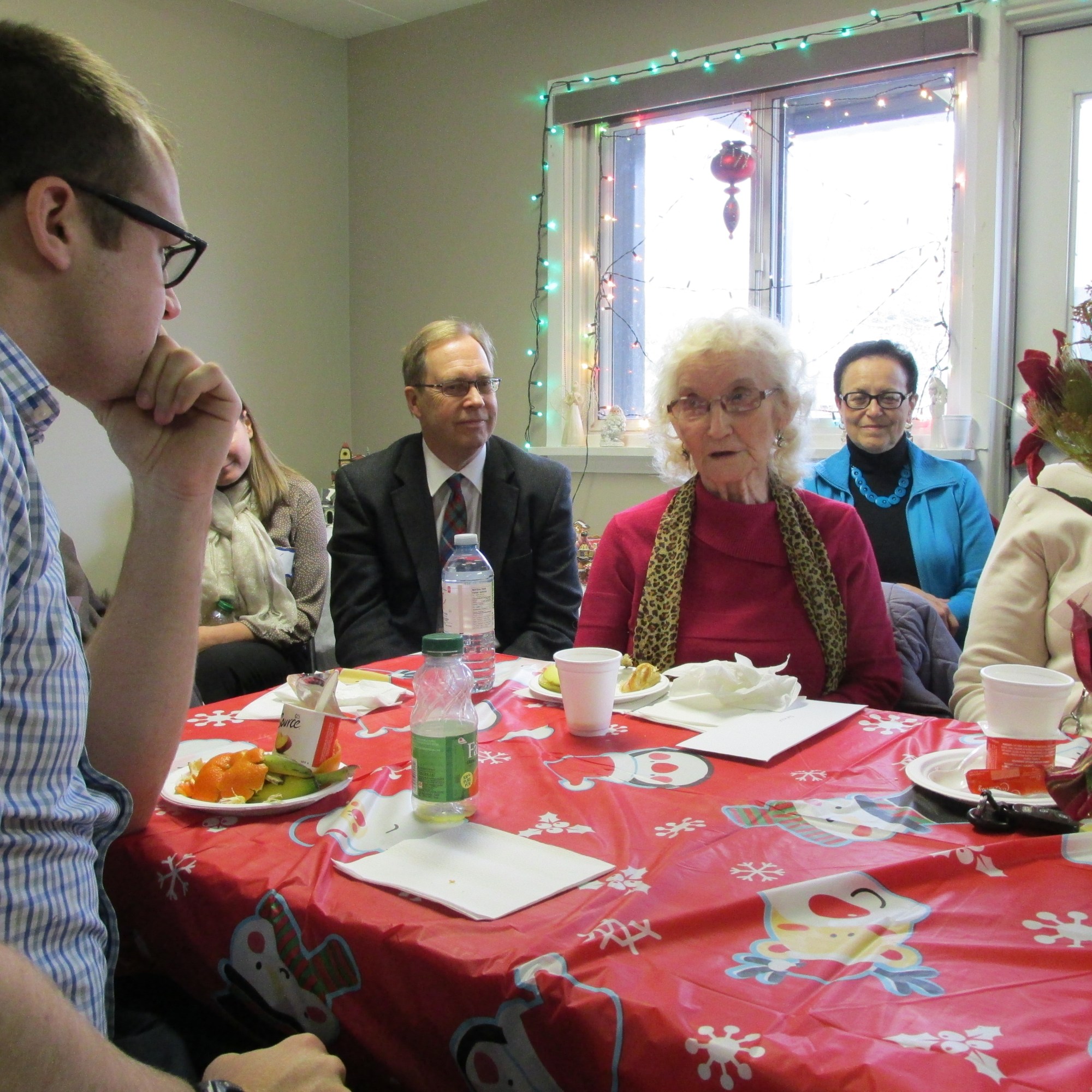
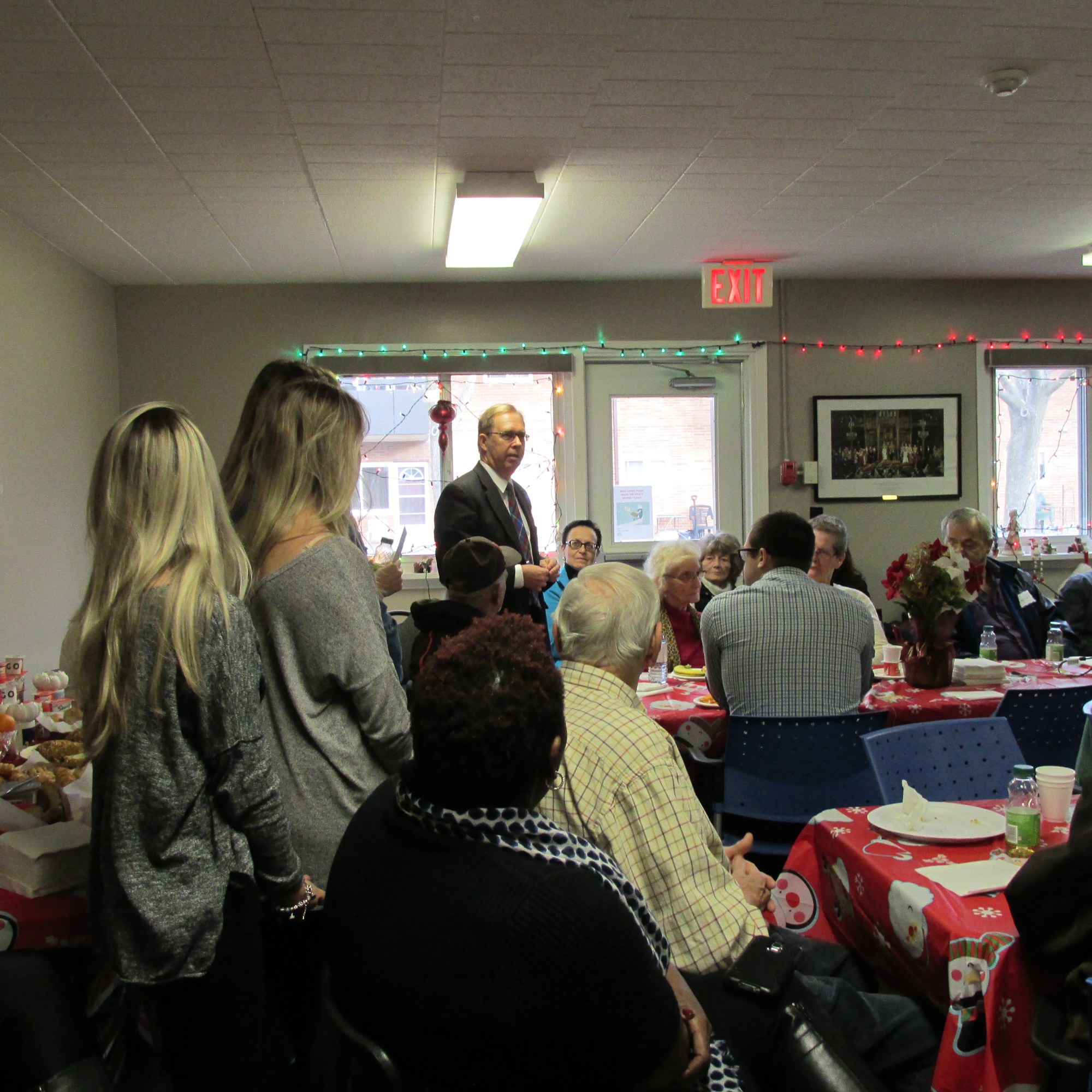
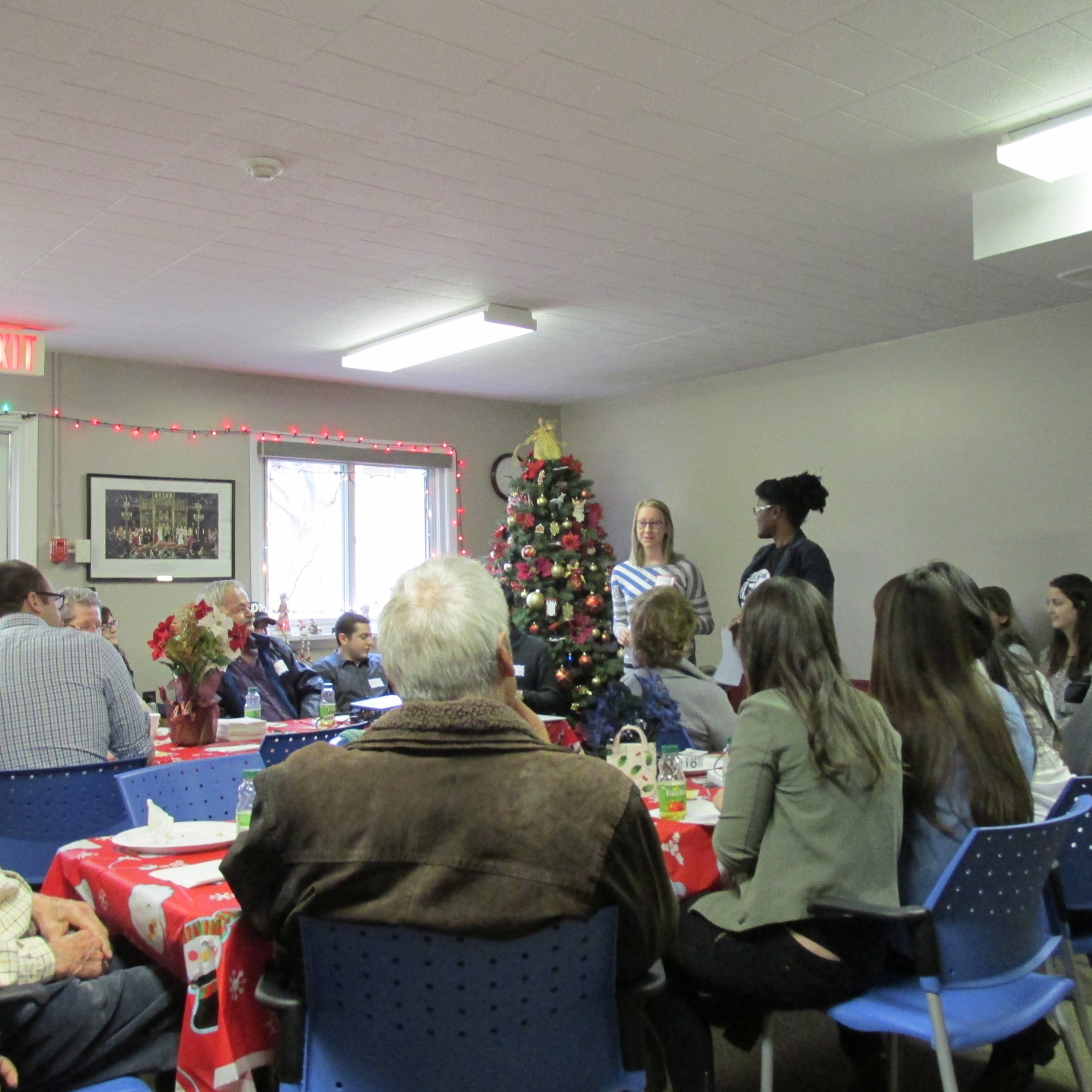
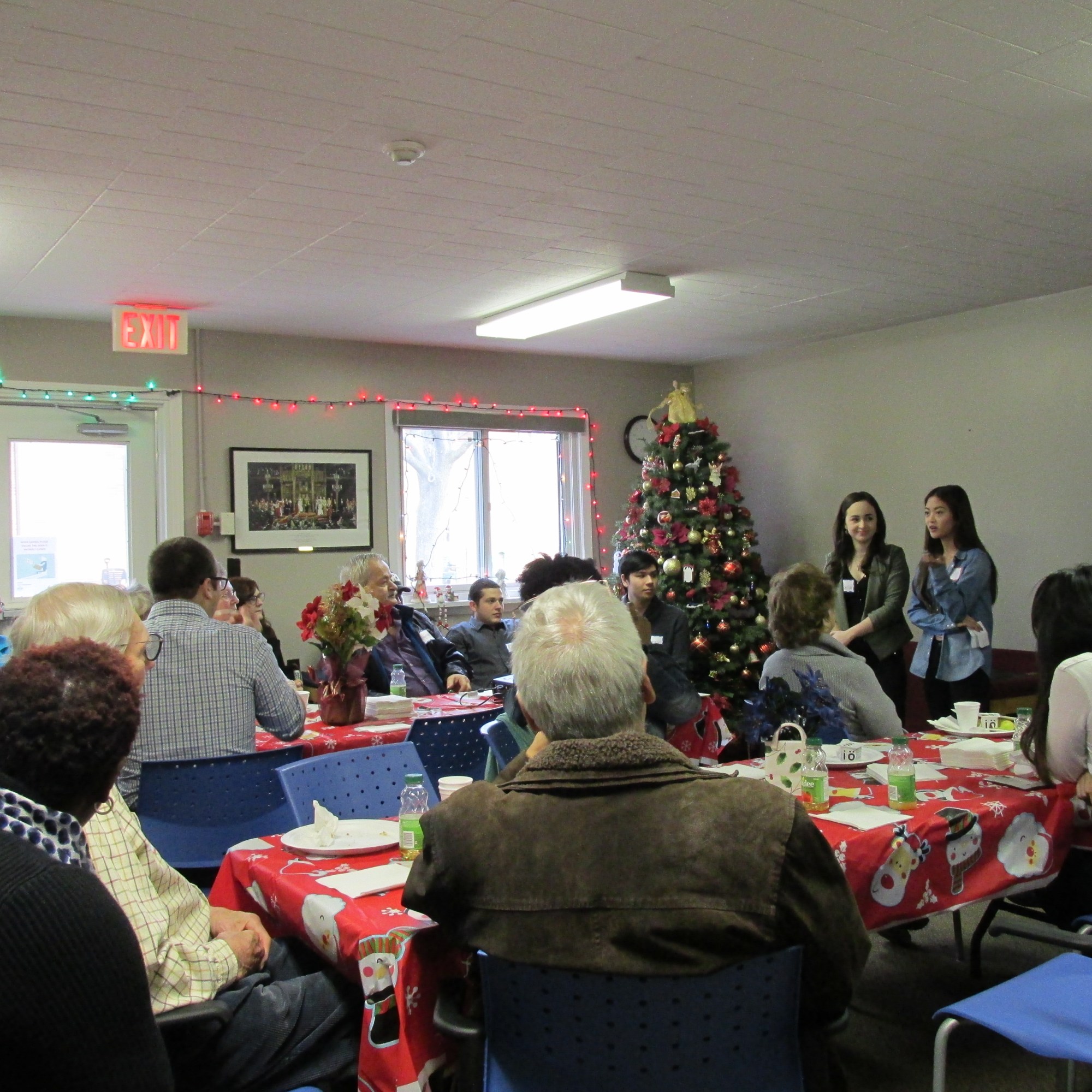
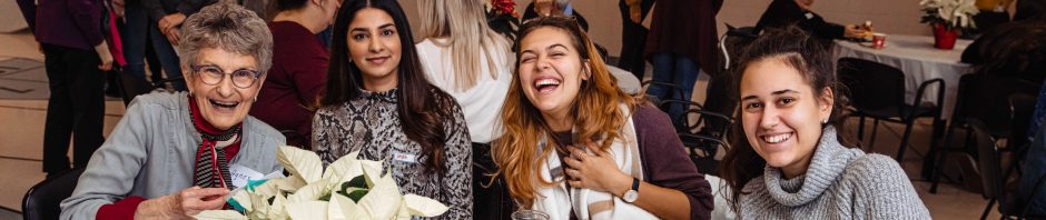
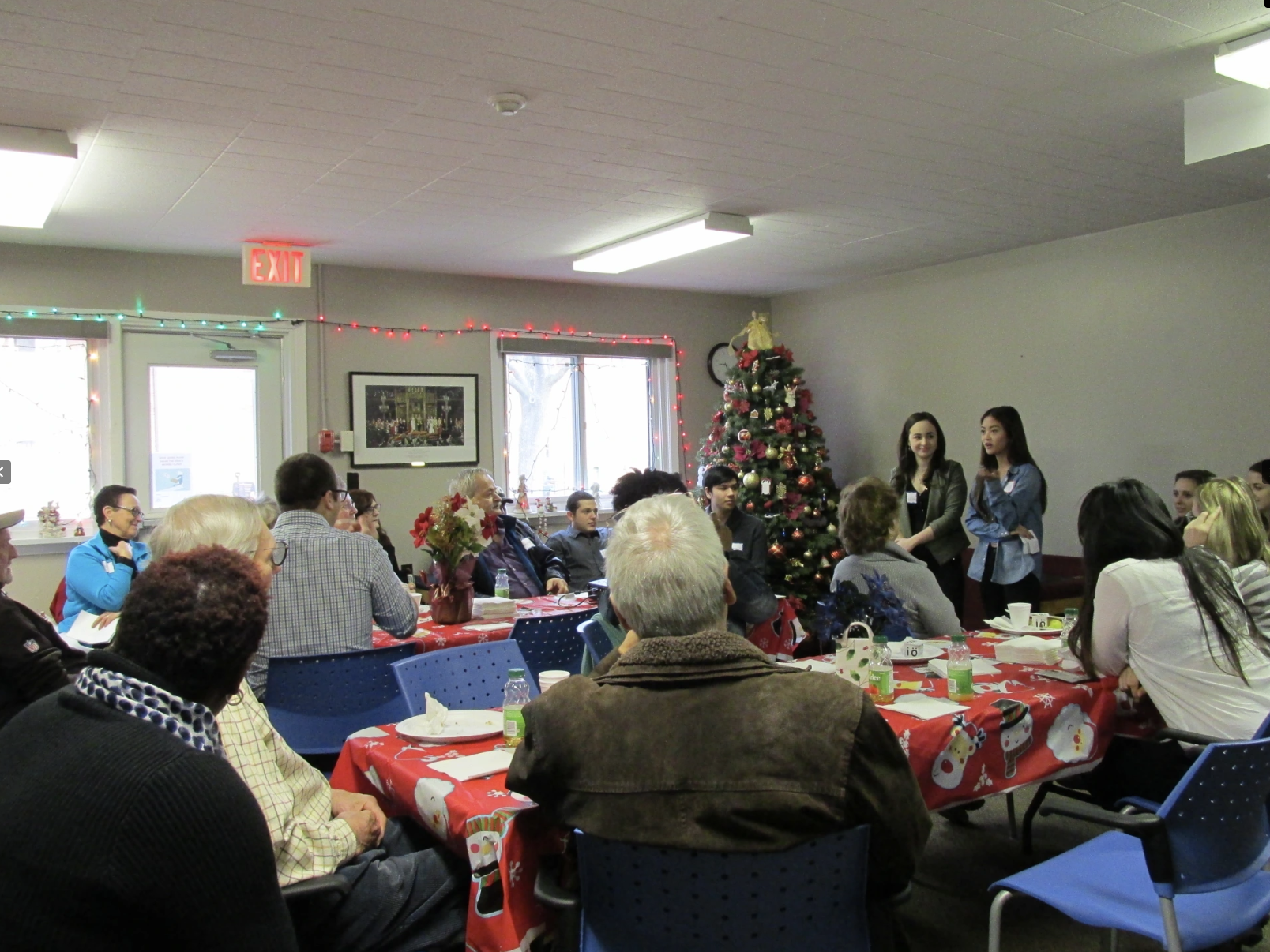
At the end of each term, the teams of students and seniors, along with project coordinators, partners and public officials, gather for a community forum event to preview the preliminary findings of their research.
Progress
Since the last time the Through Their Eyes project came to the Elmview community in Welland, Ontario, residents have identified several notable improvements in nearly every category of what makes an age-friendly city including: Transportation, Social Participation, Respect and Social Inclusion, and Civic Engagement.
The community is friendly and residents are treated with respect. There is access to a several methods of transportation that the seniors considered mostly affordable, safe, and accessible. The participants are close to shopping centres and a grocery store, and a community garden (which they love).
Opportunities for Change
Overall, considerable progress has been made to improve the age friendliness of this community, however, there are still some opportunities for change. A few highlights from participants include:
- Installing higher outdoor benches
- Bring the bus shuttle back
- Improve wait times for maintenance
- Add seating to the nearby bus shelter
- Partner with local organizations to enhance social activities
The following videos highlight the preliminary findings gleaned from each student groups’ qualitative research gathered throughout the intergenerational project.
Summary of Findings: 2024
Summary of Findings: 2016
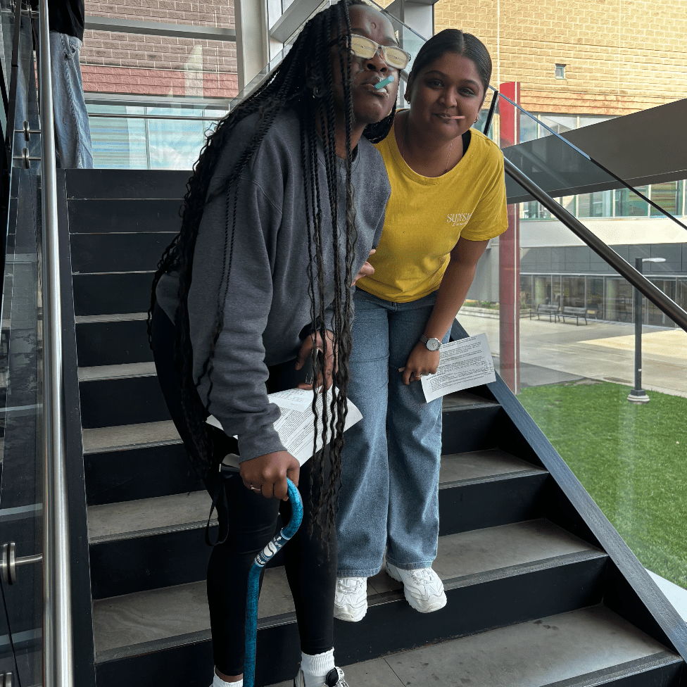
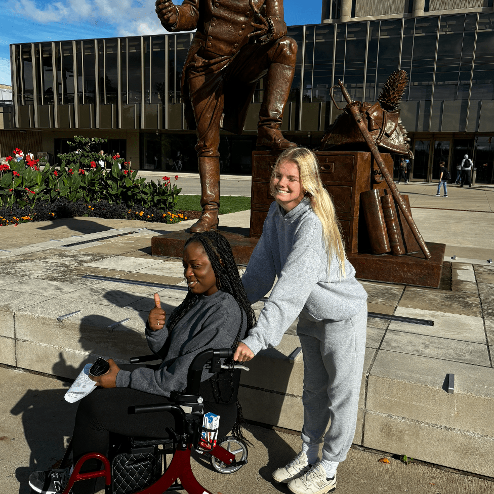
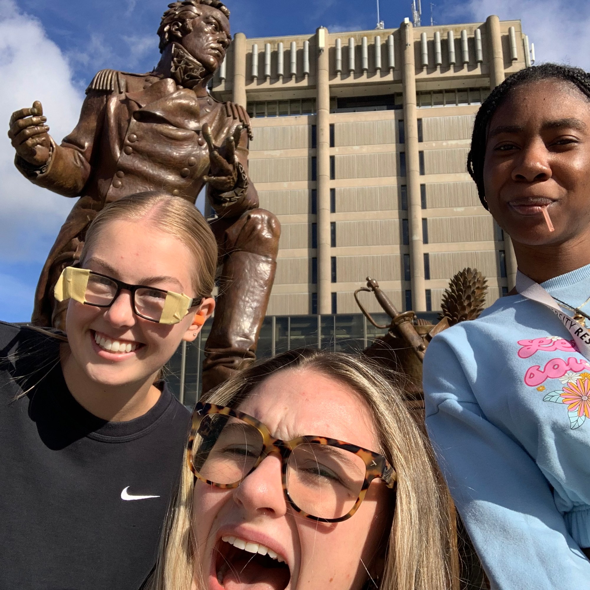
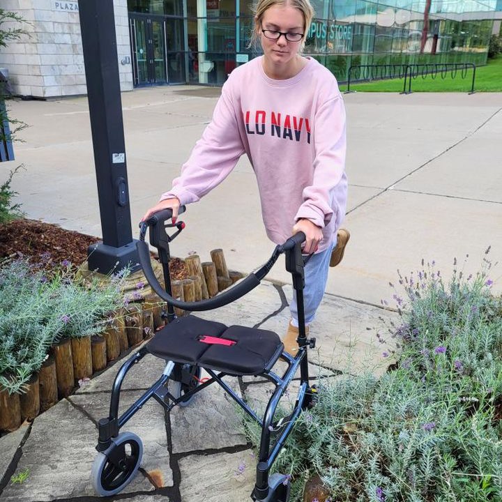
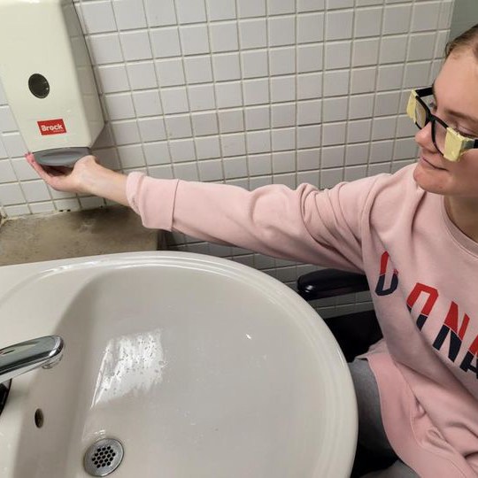
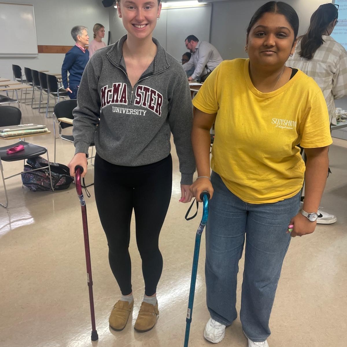
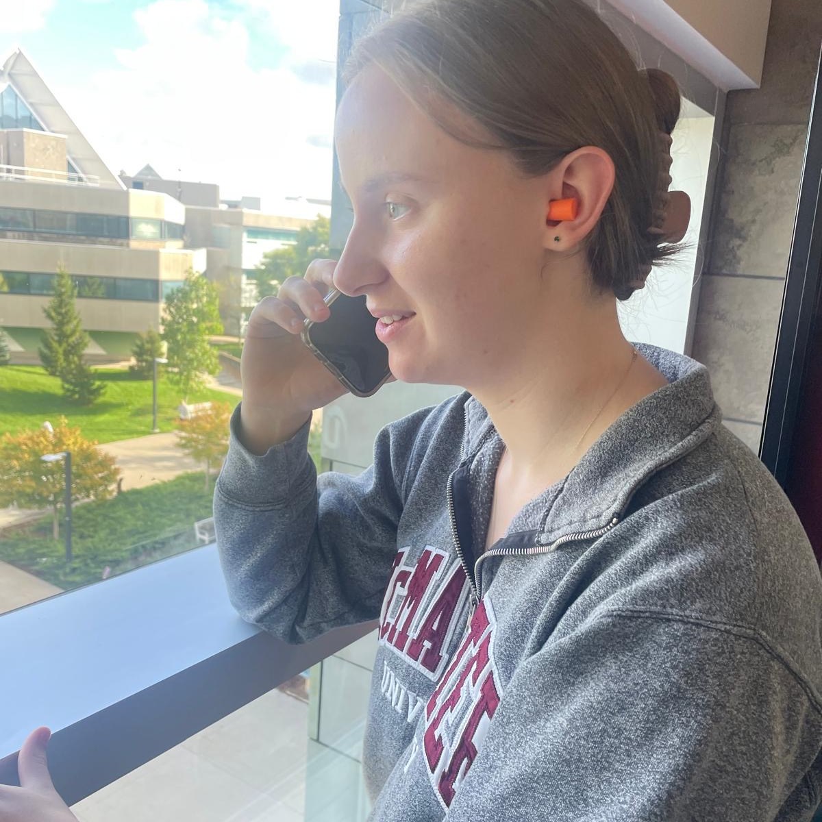
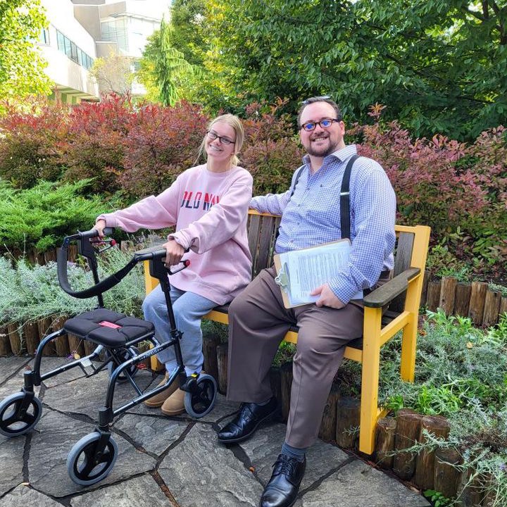
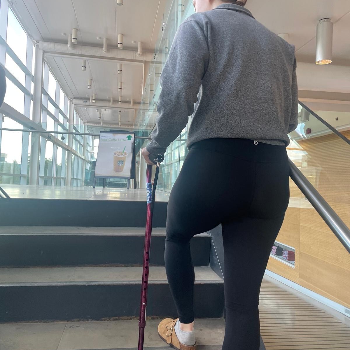
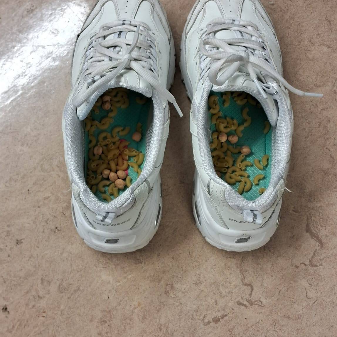
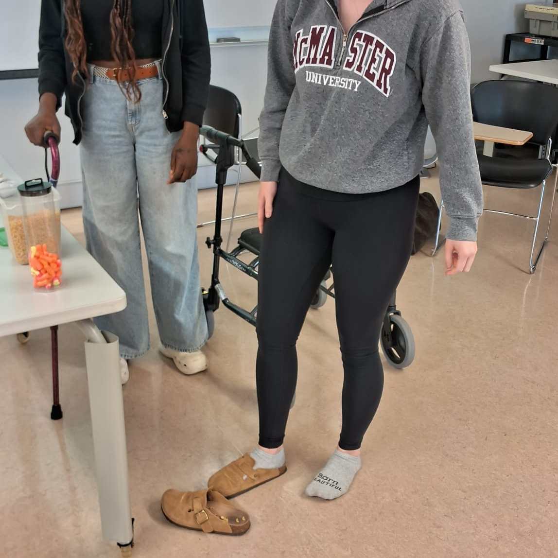
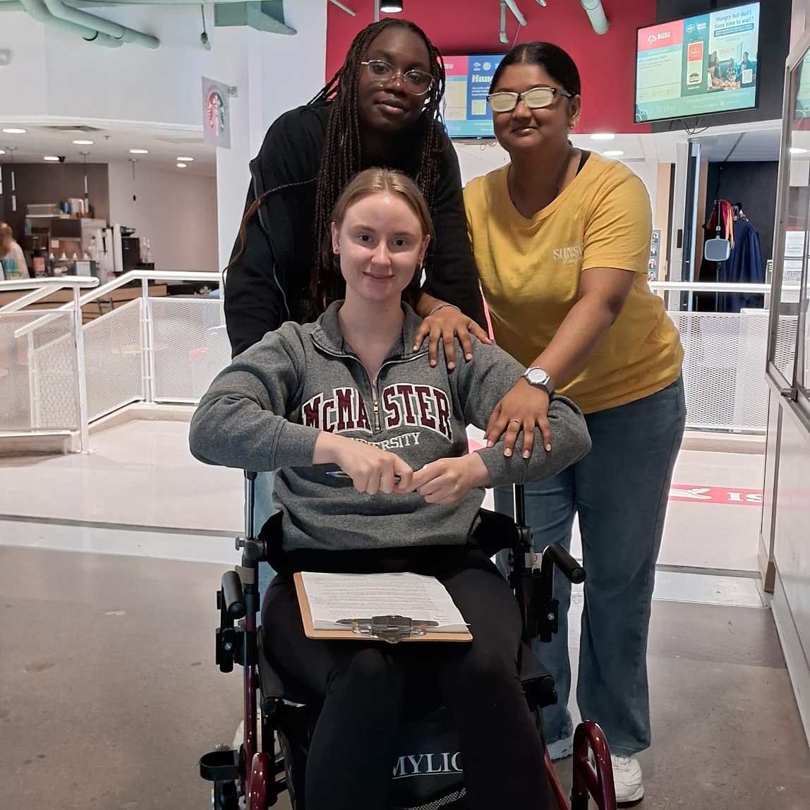
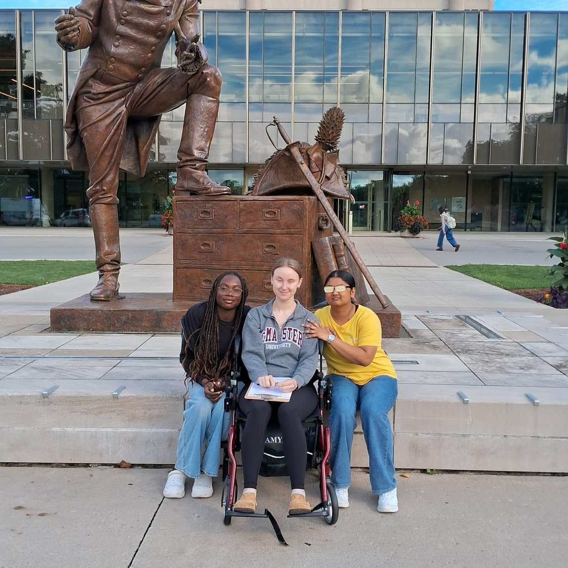
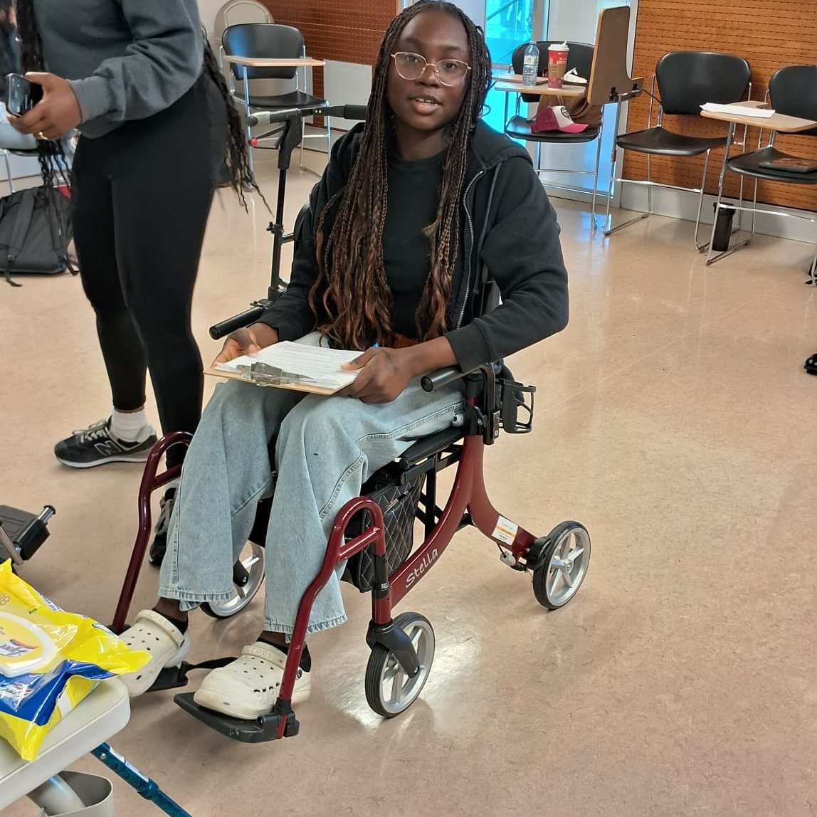
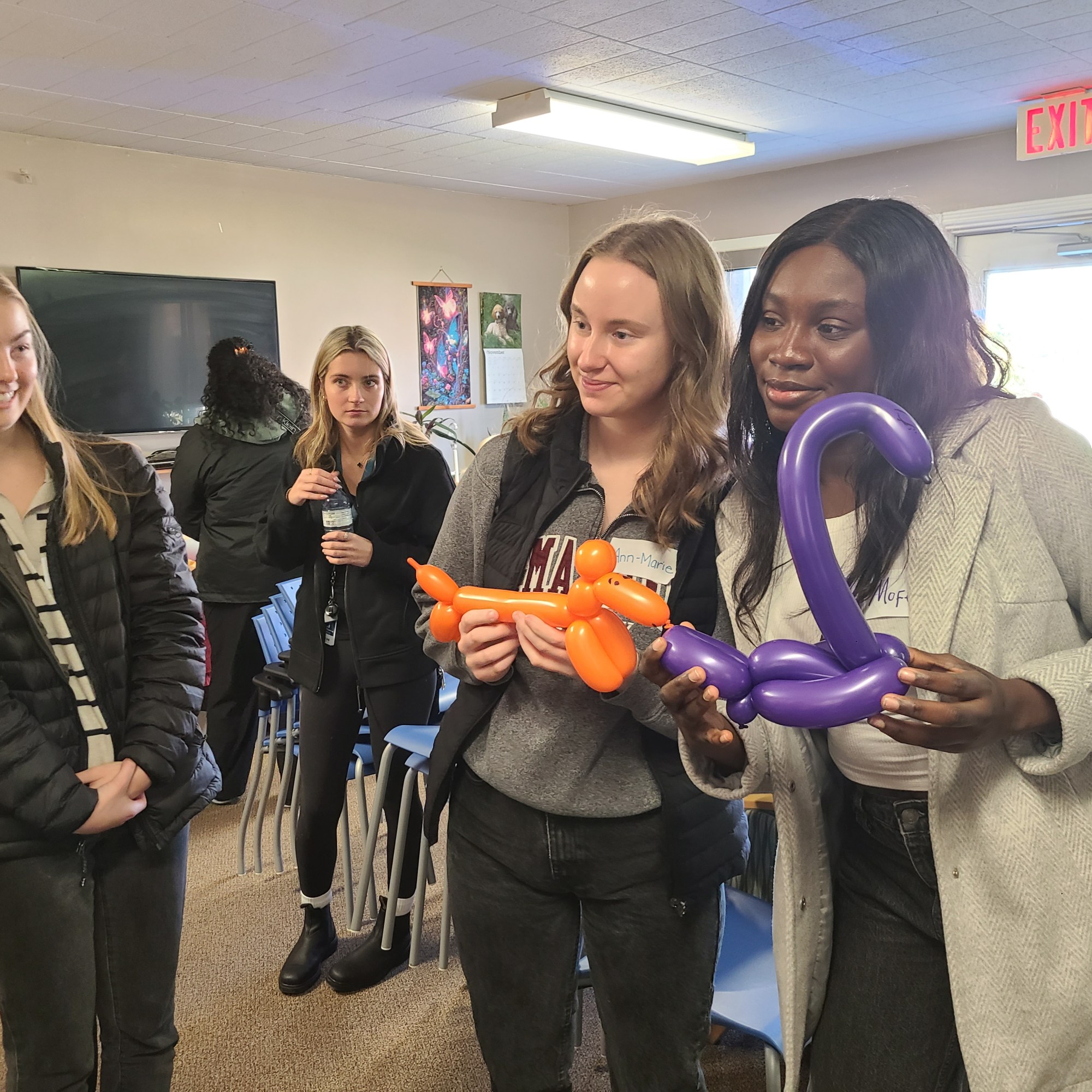
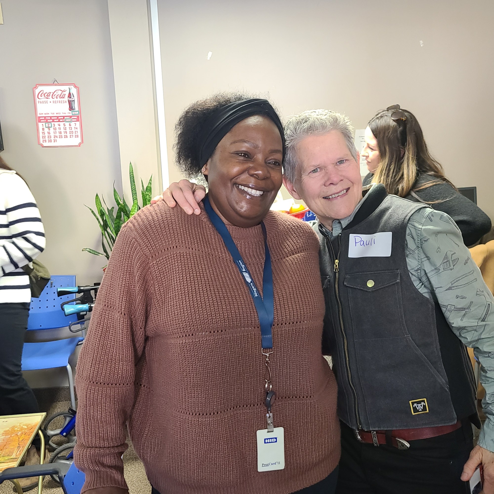
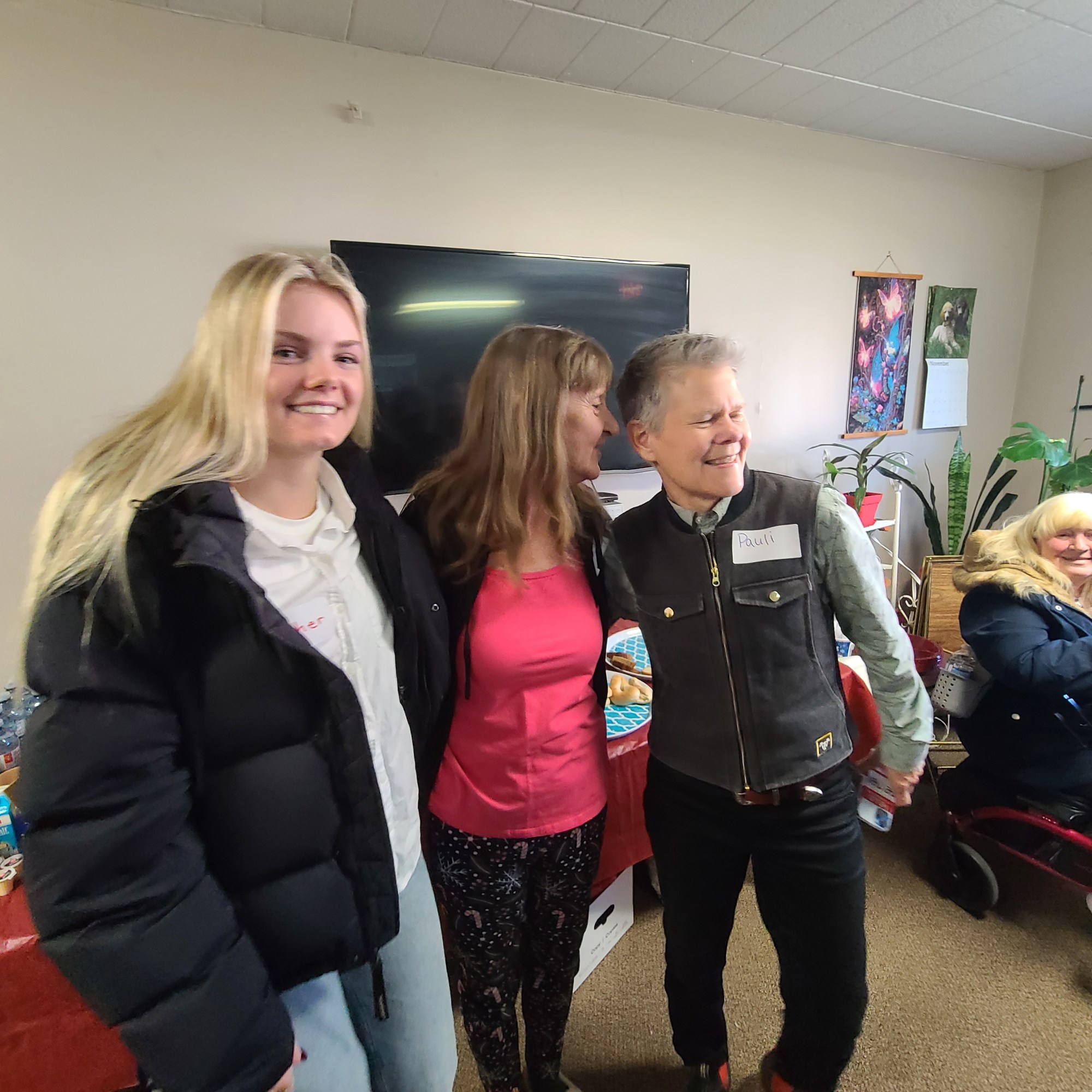
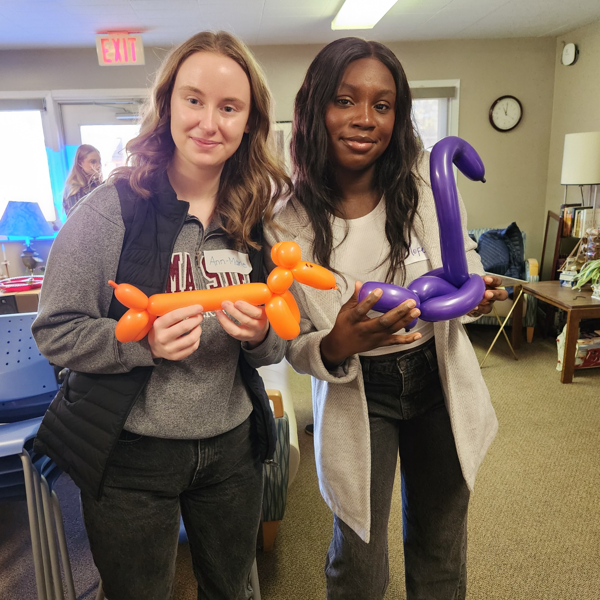
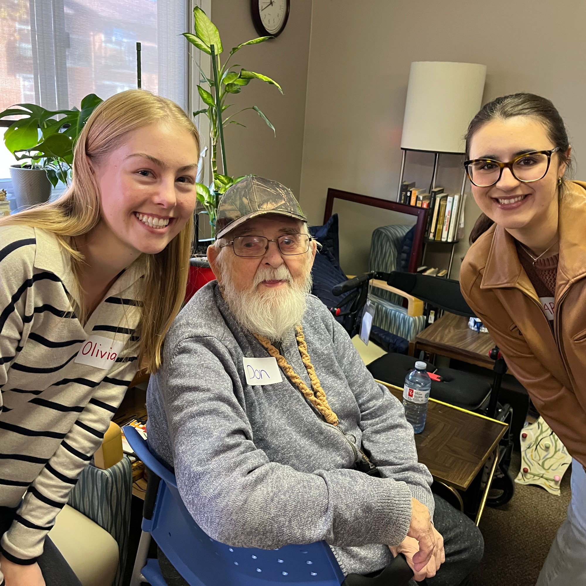
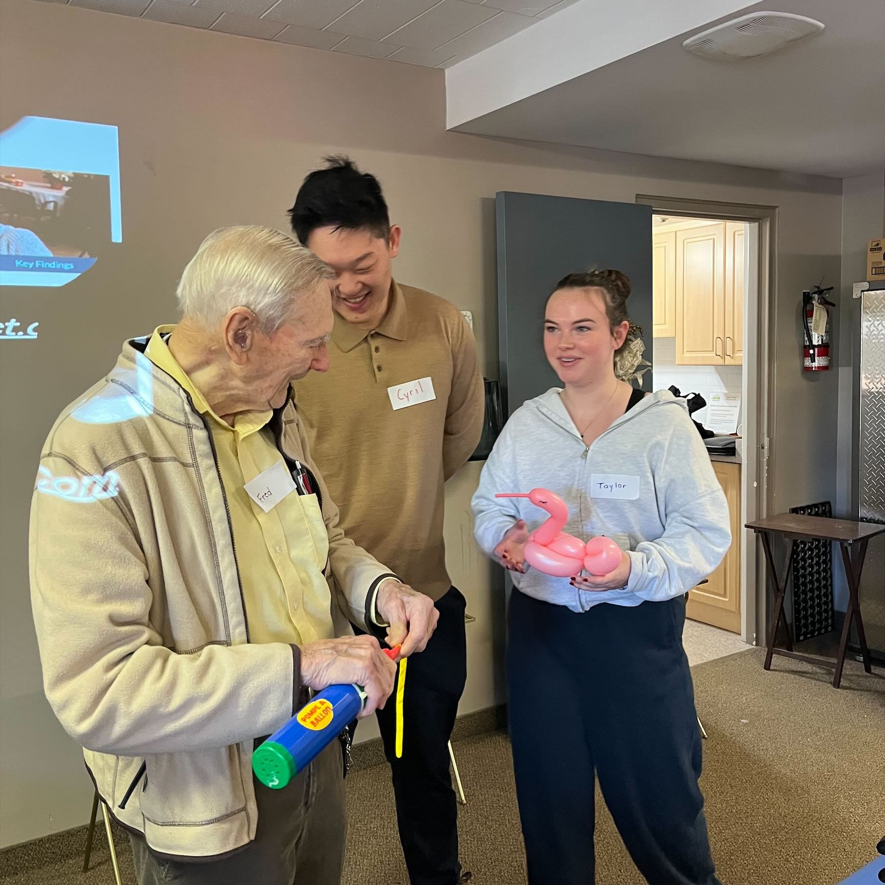
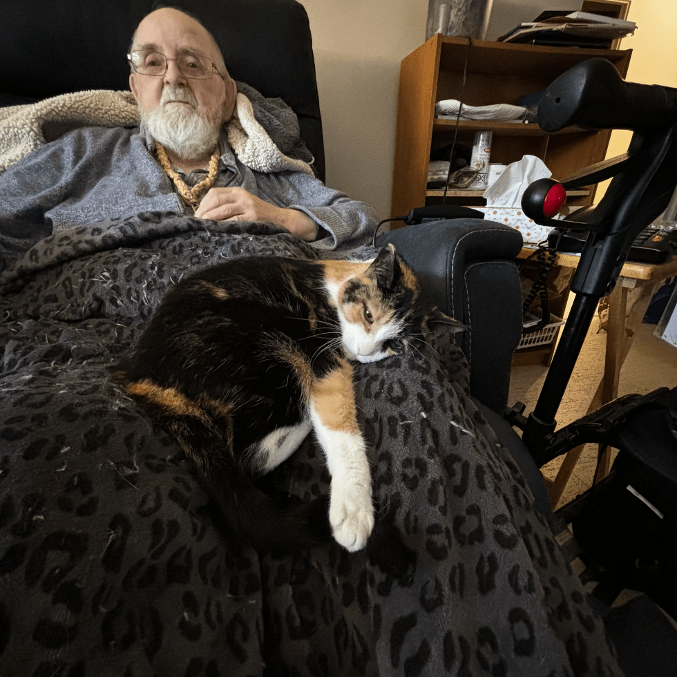
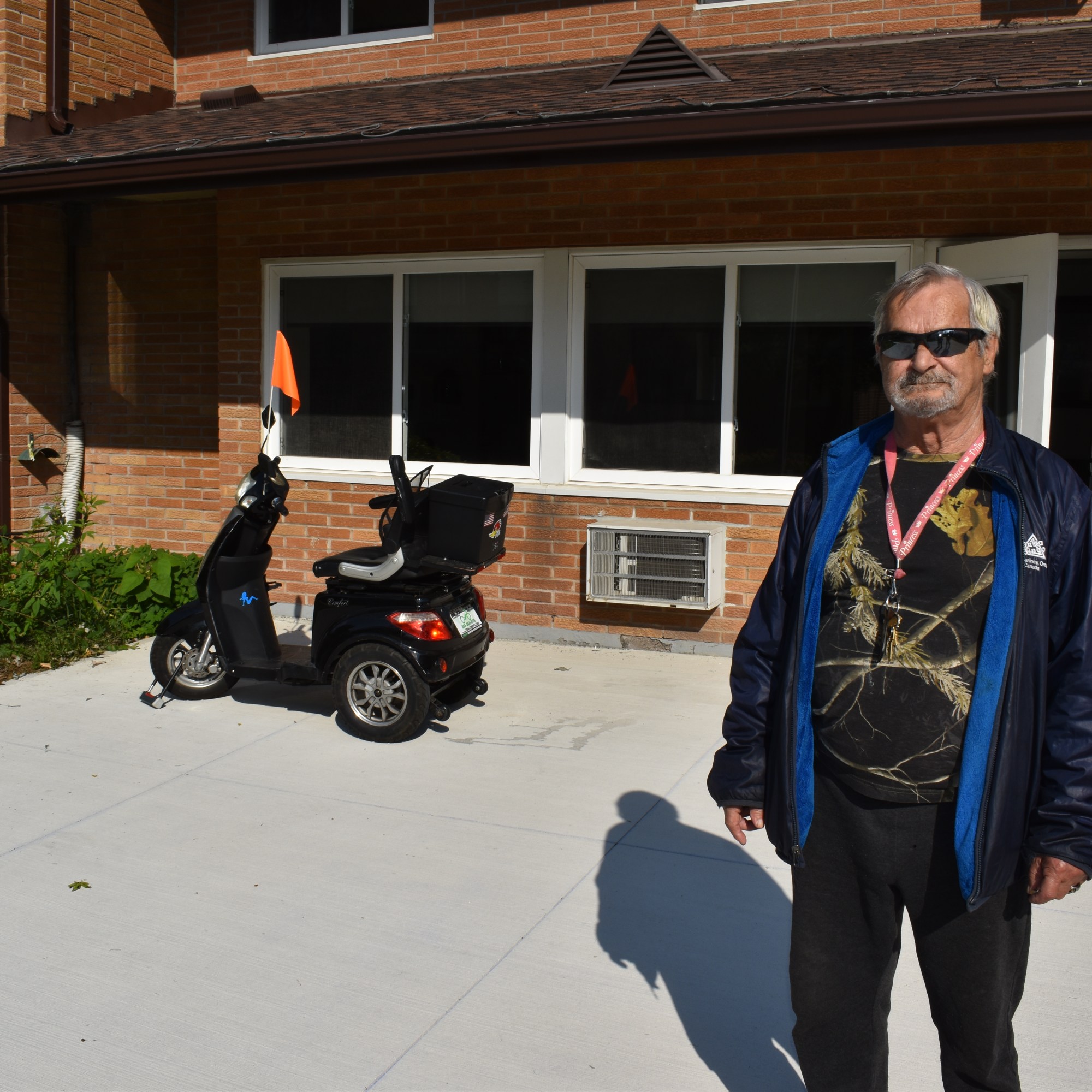
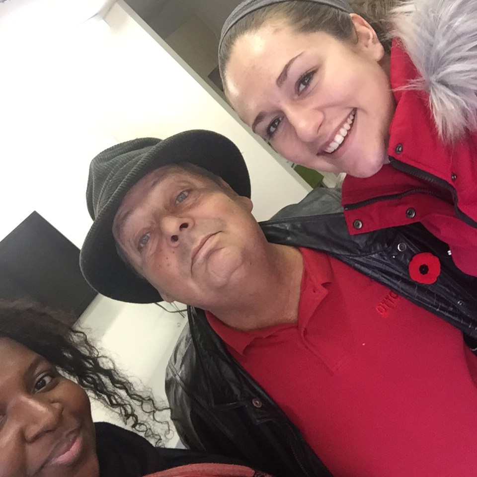
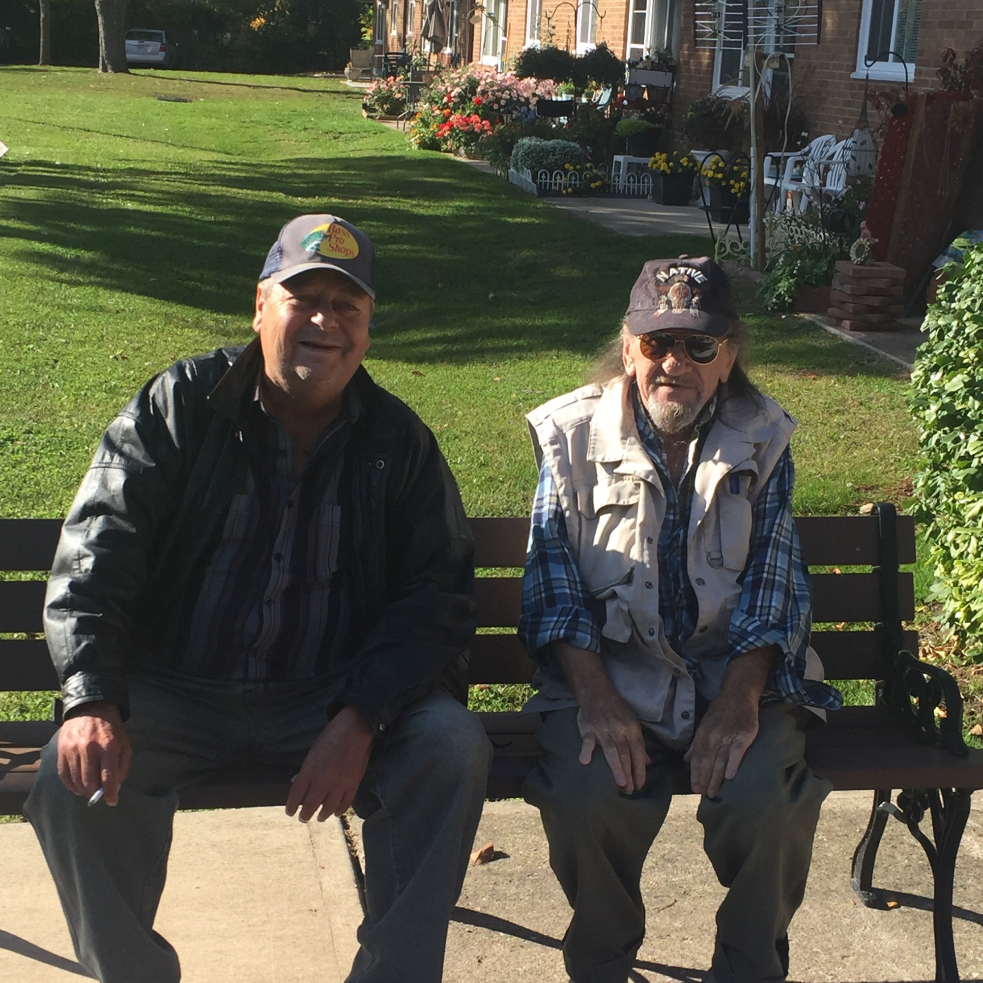
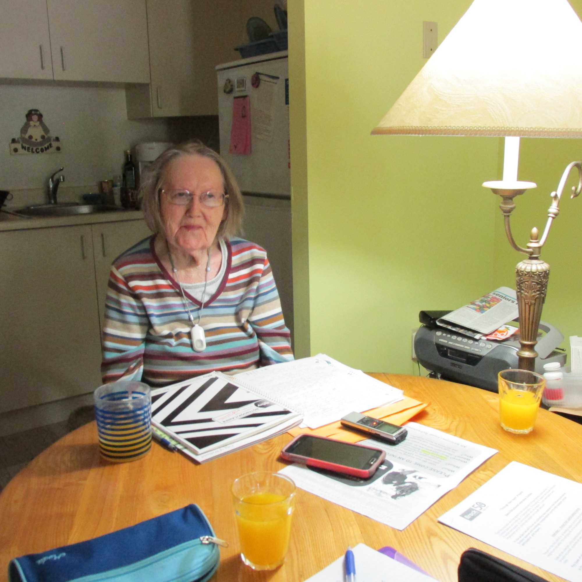
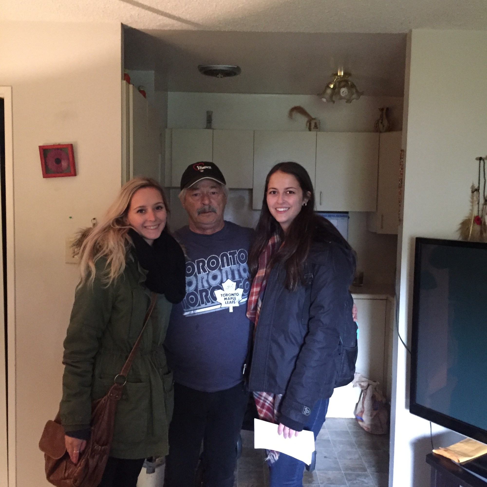
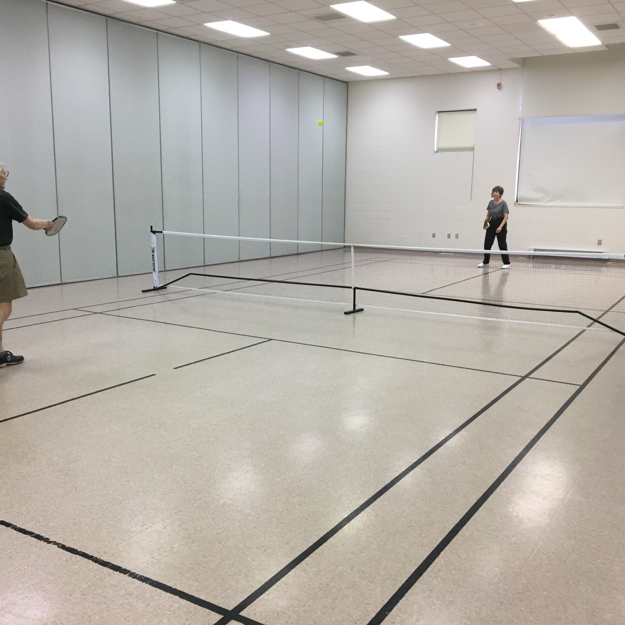
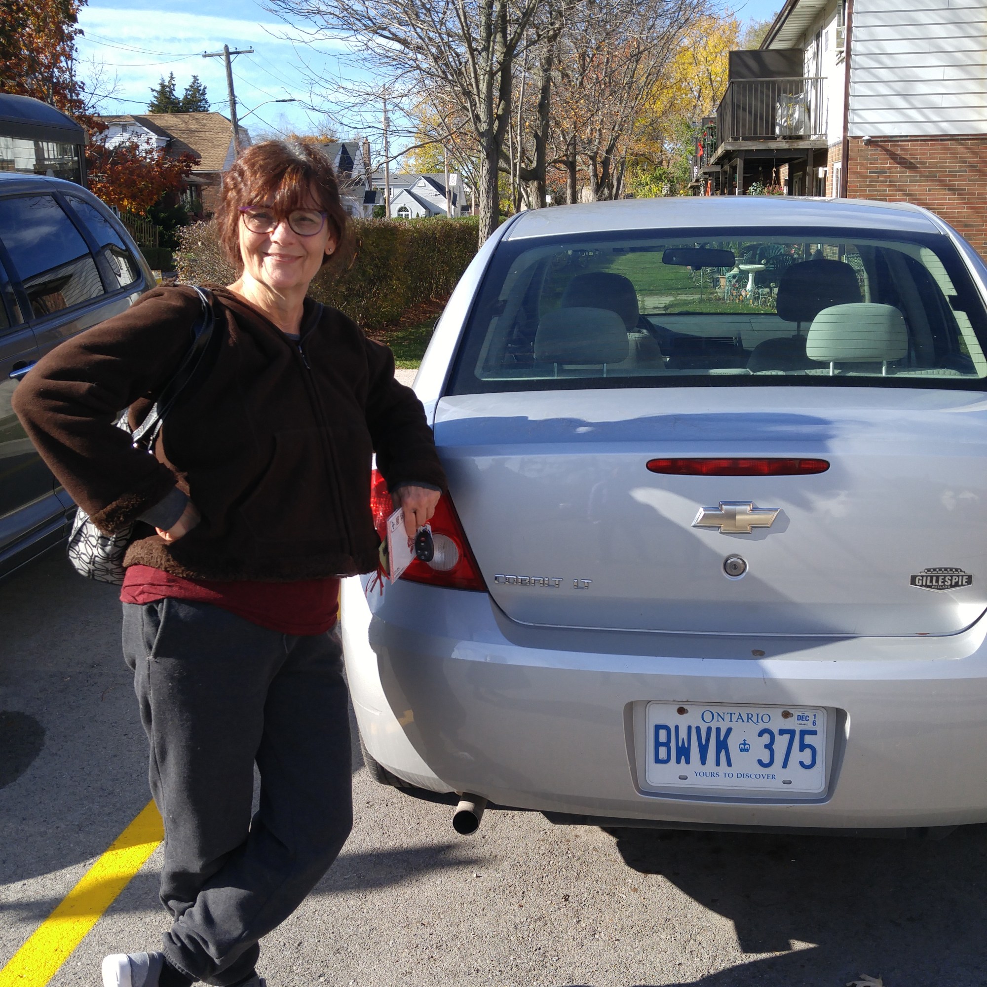
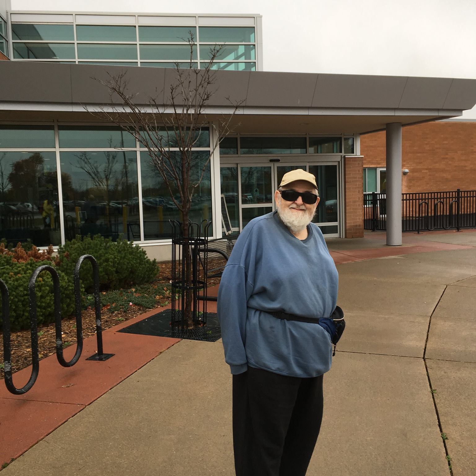
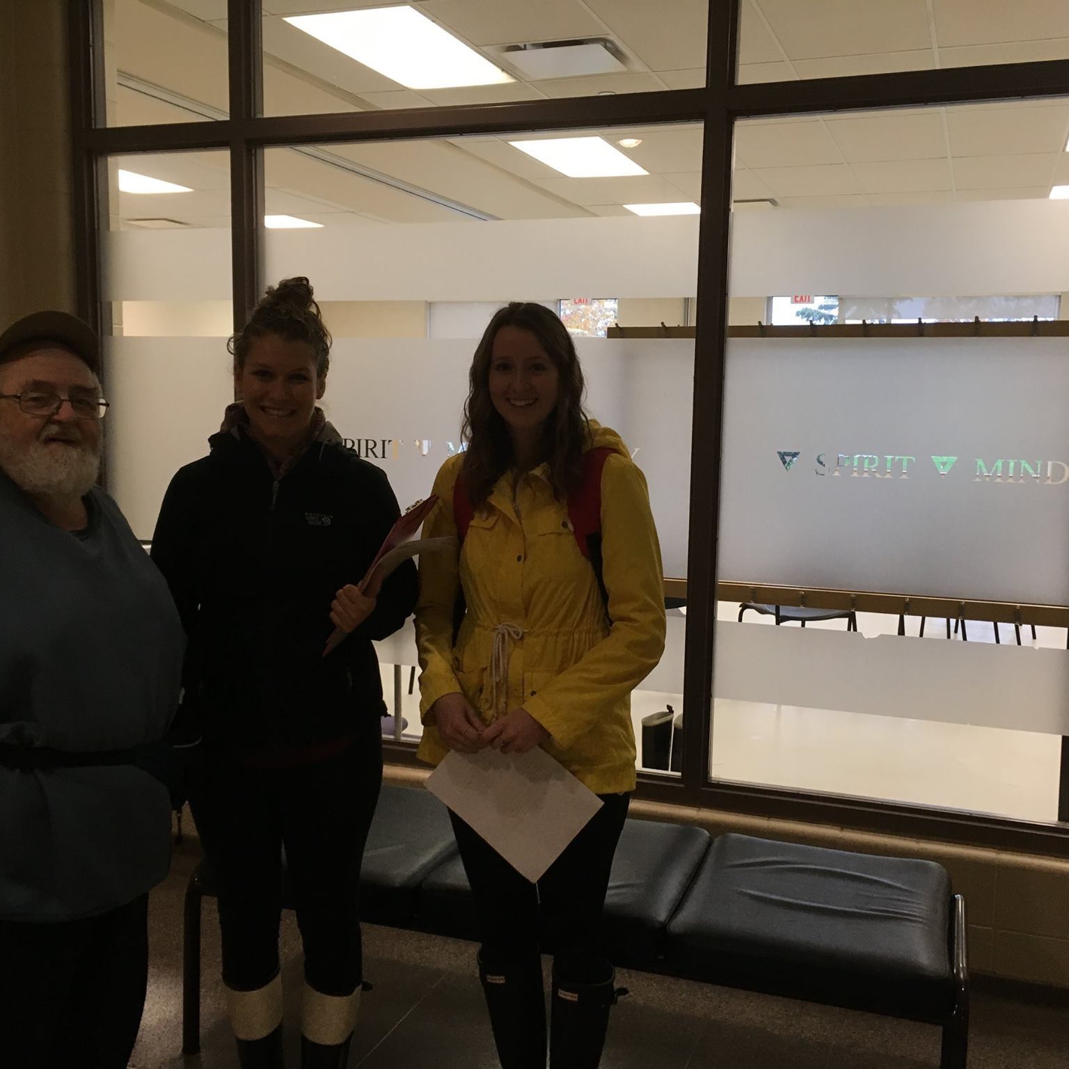
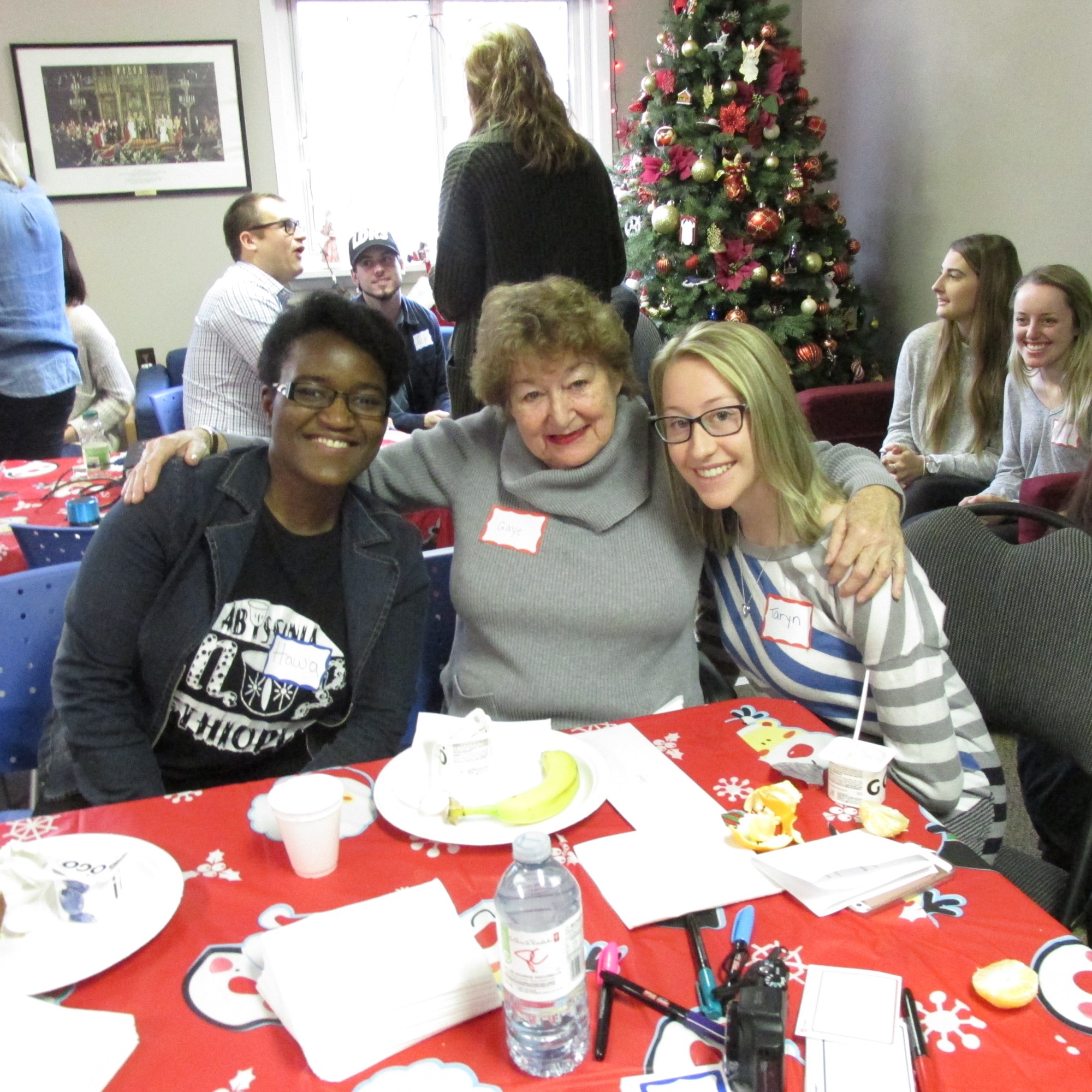
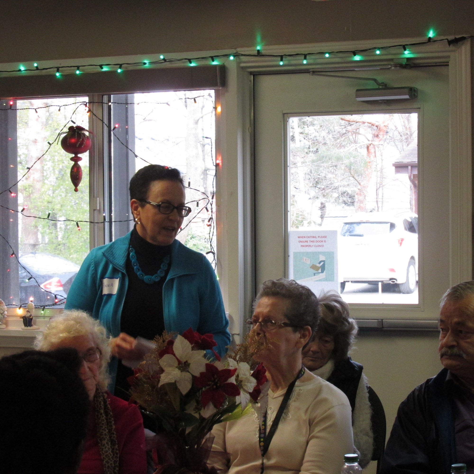
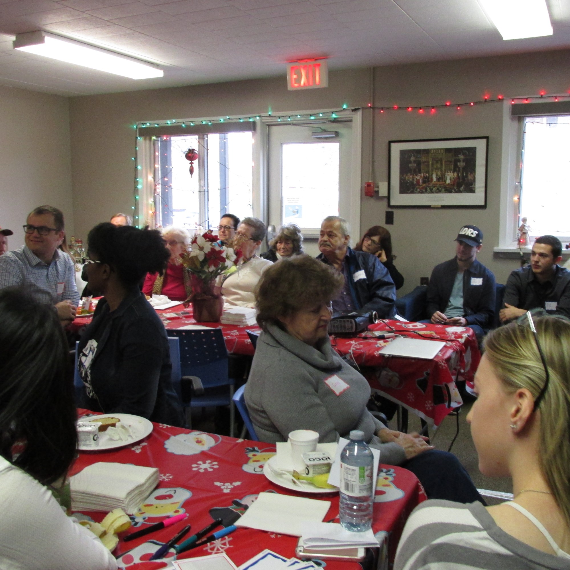
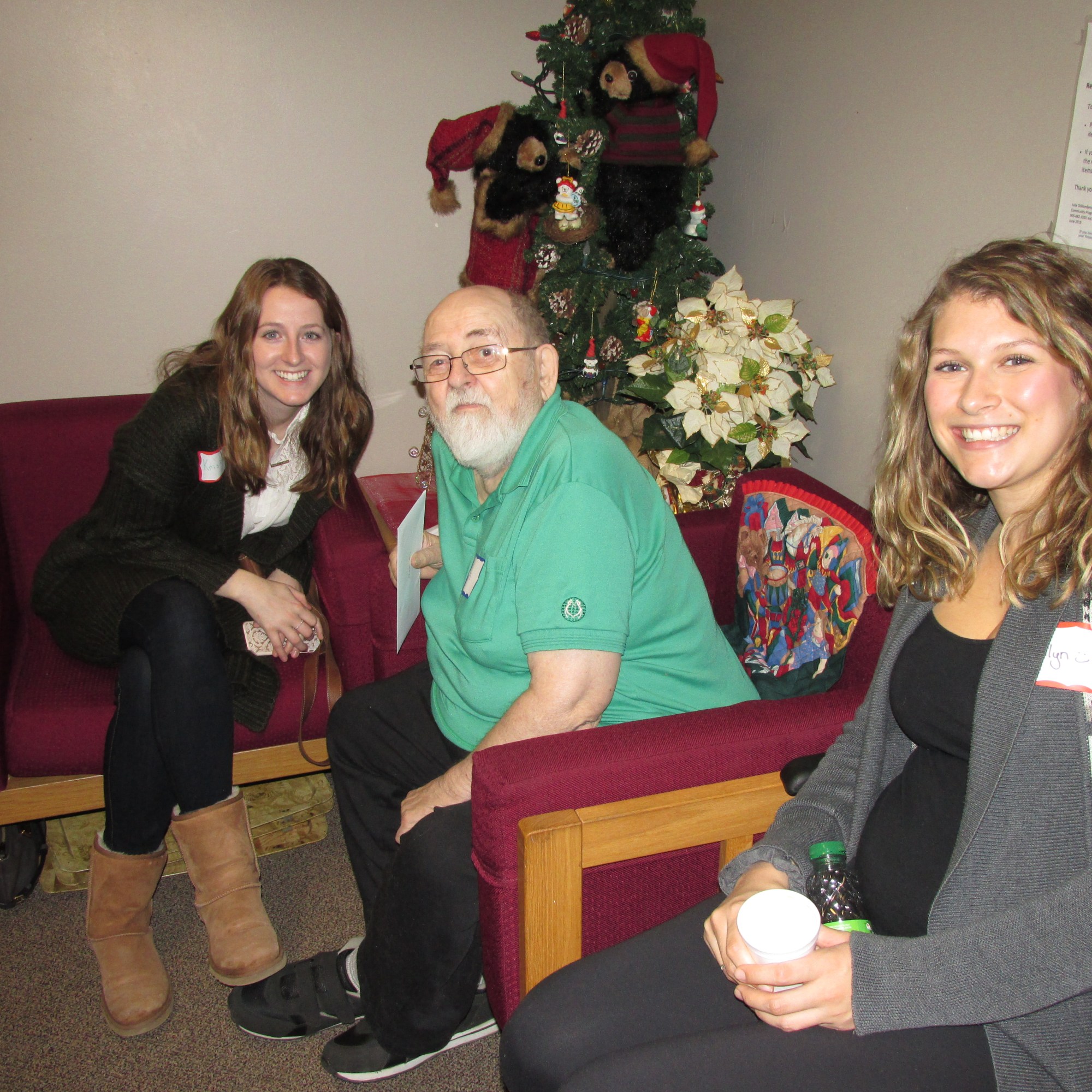
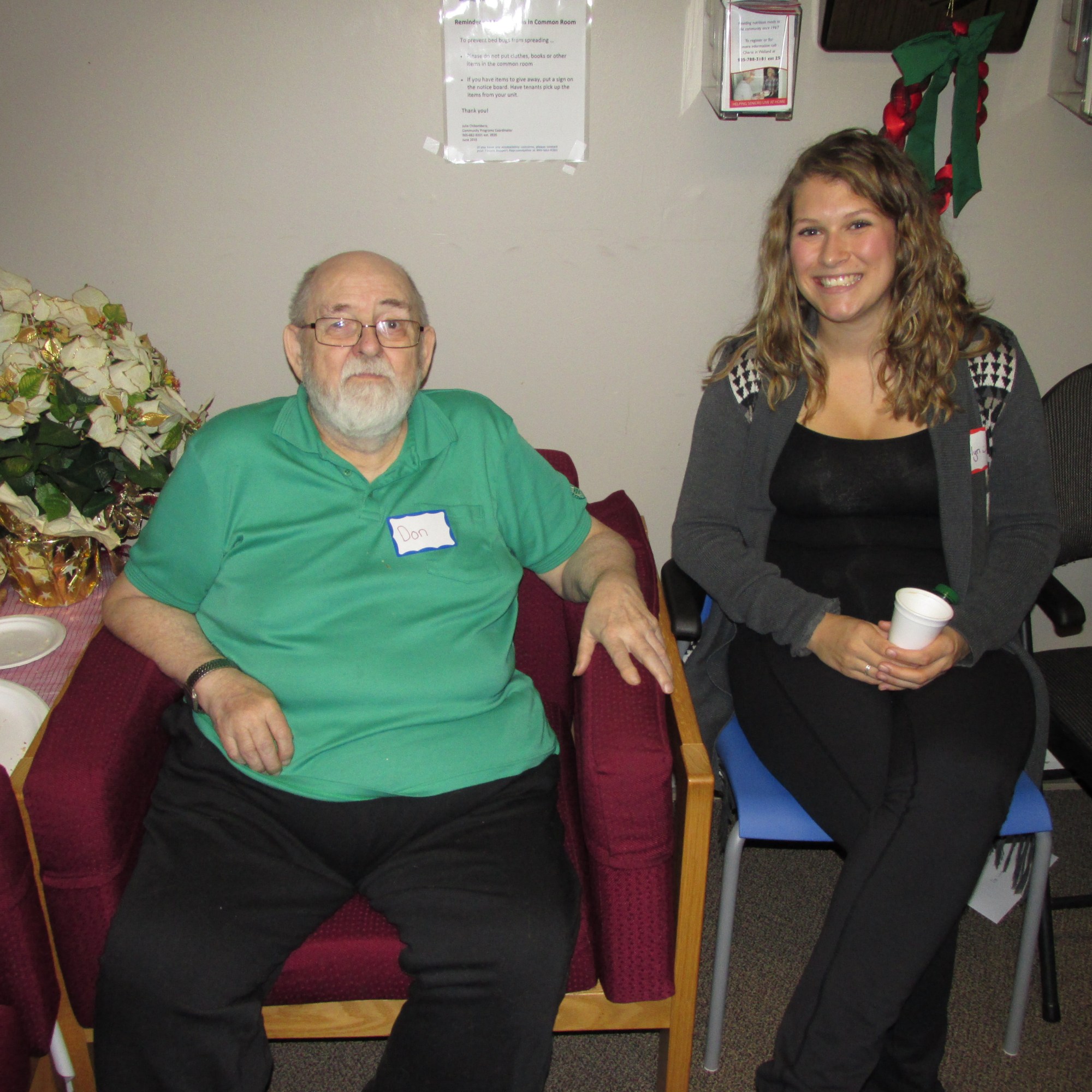
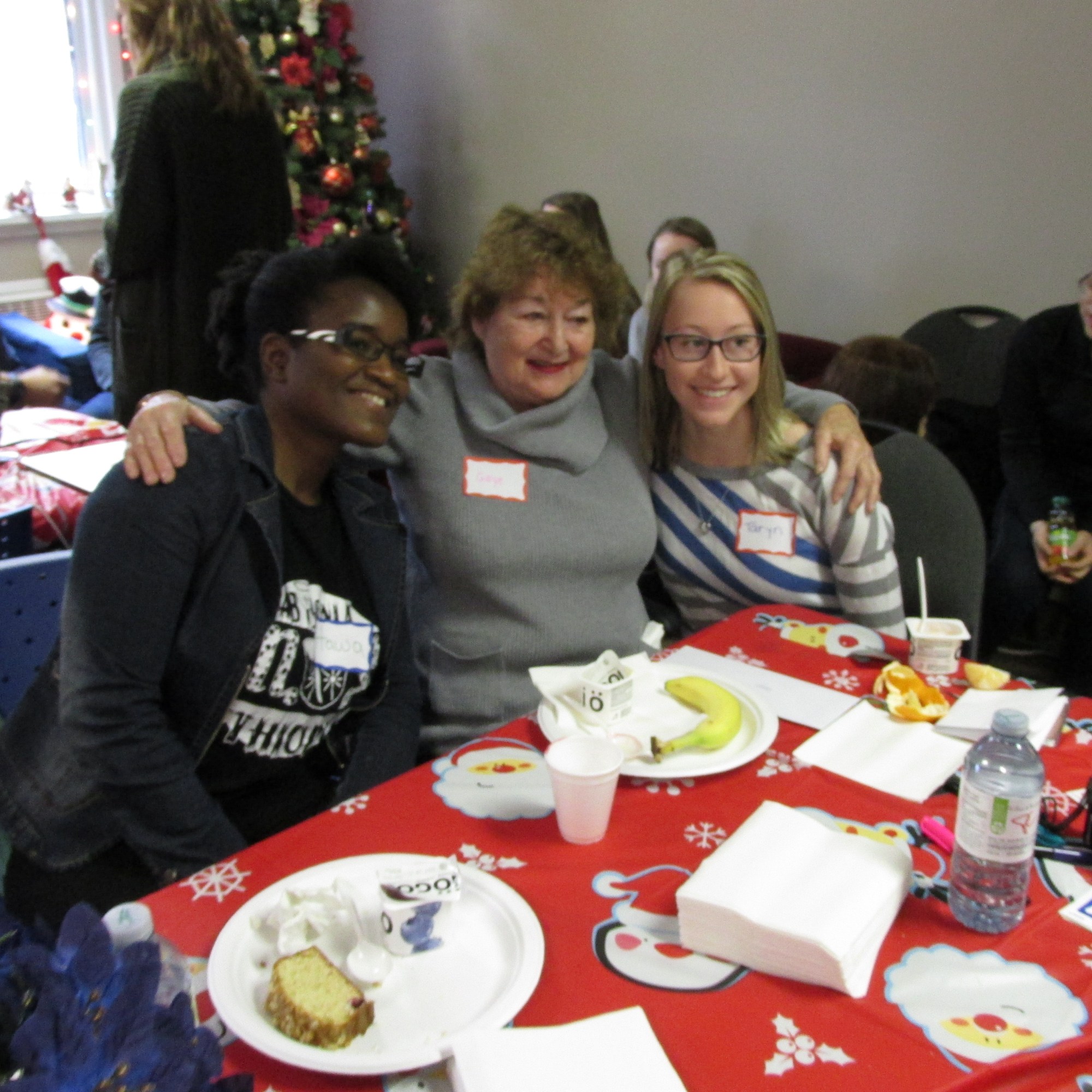
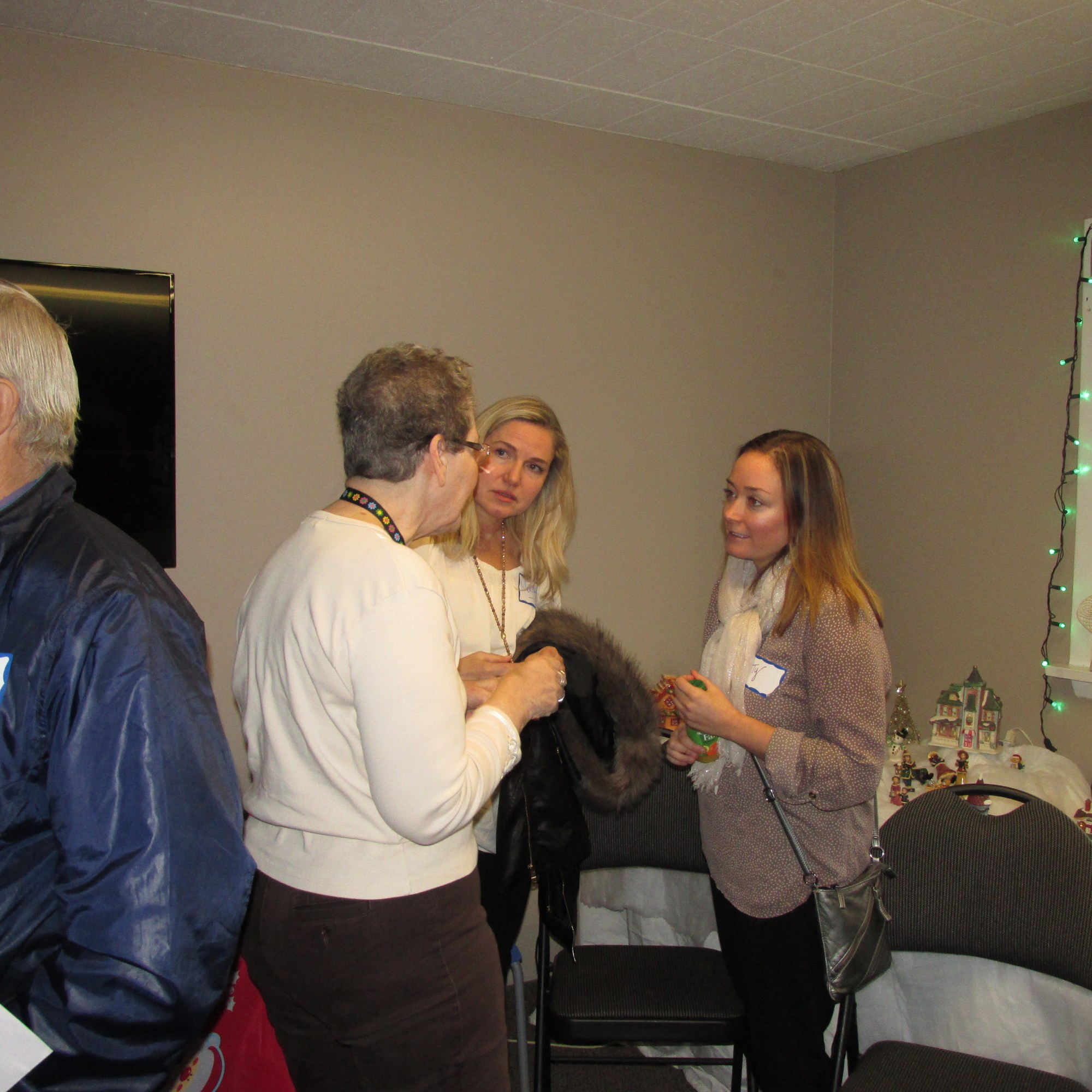
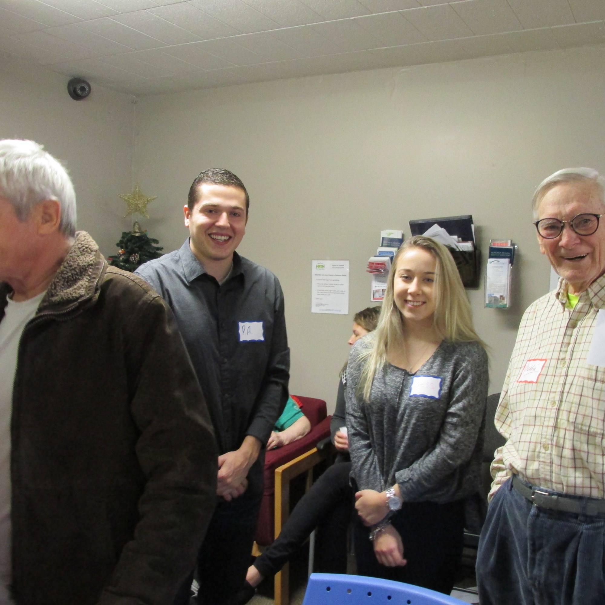
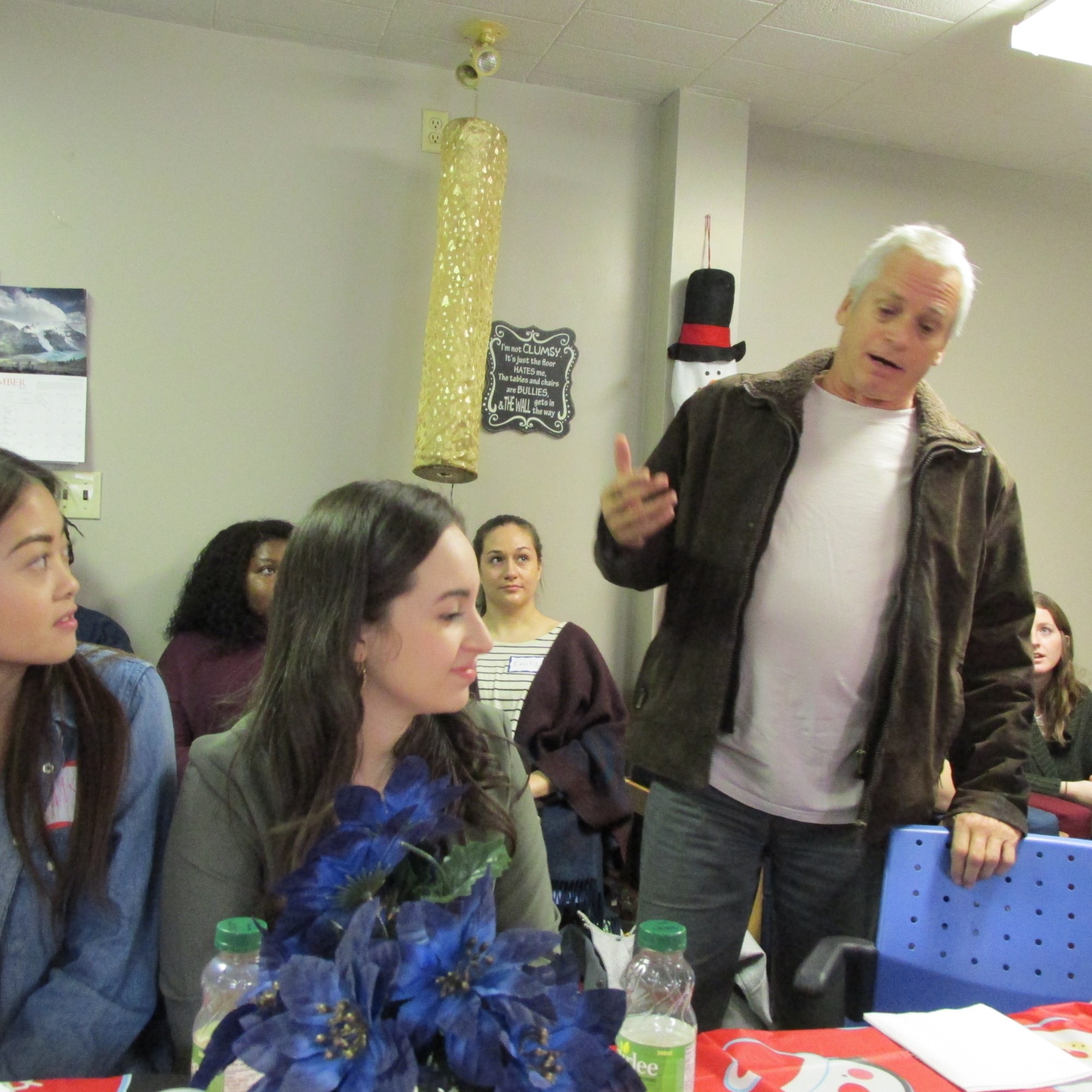
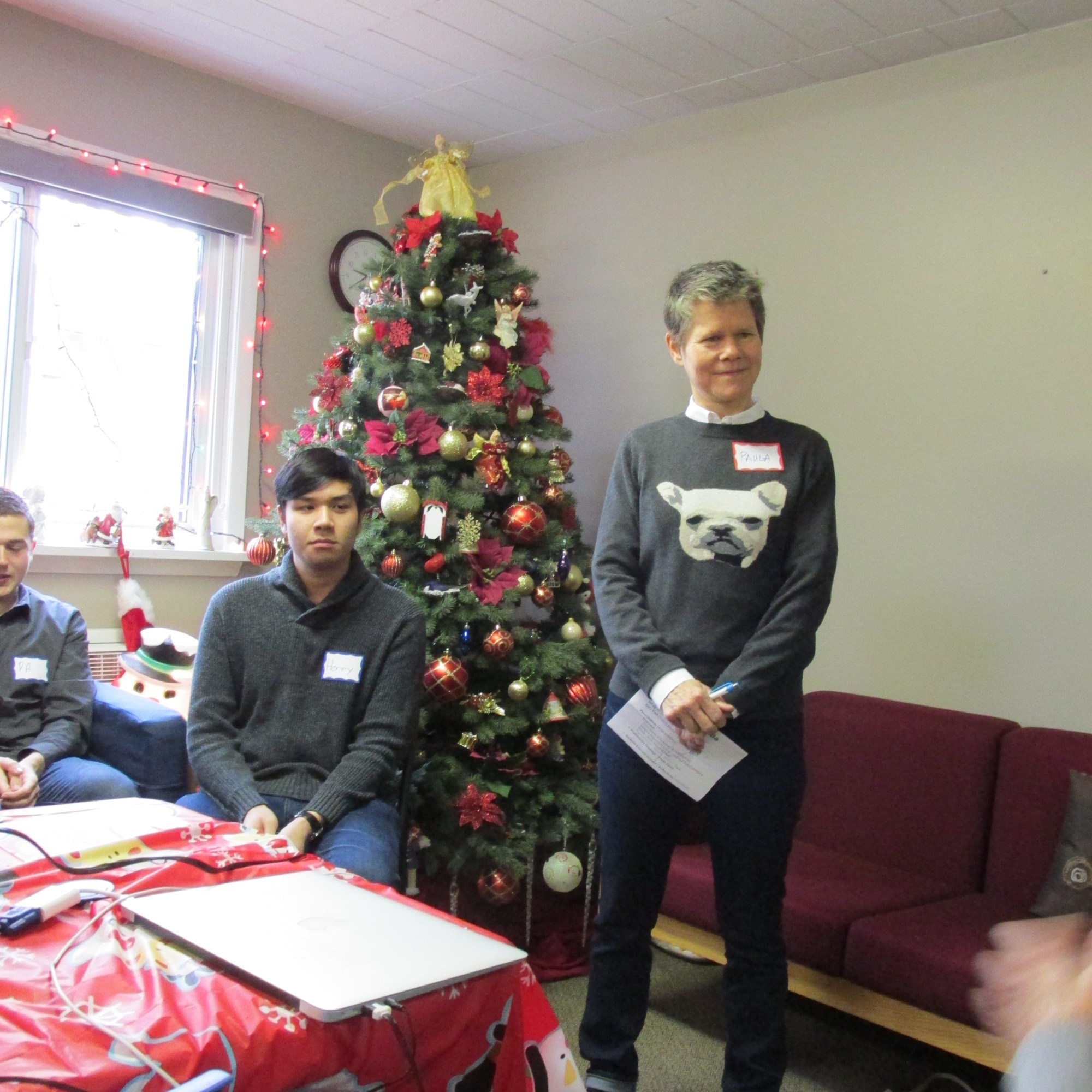
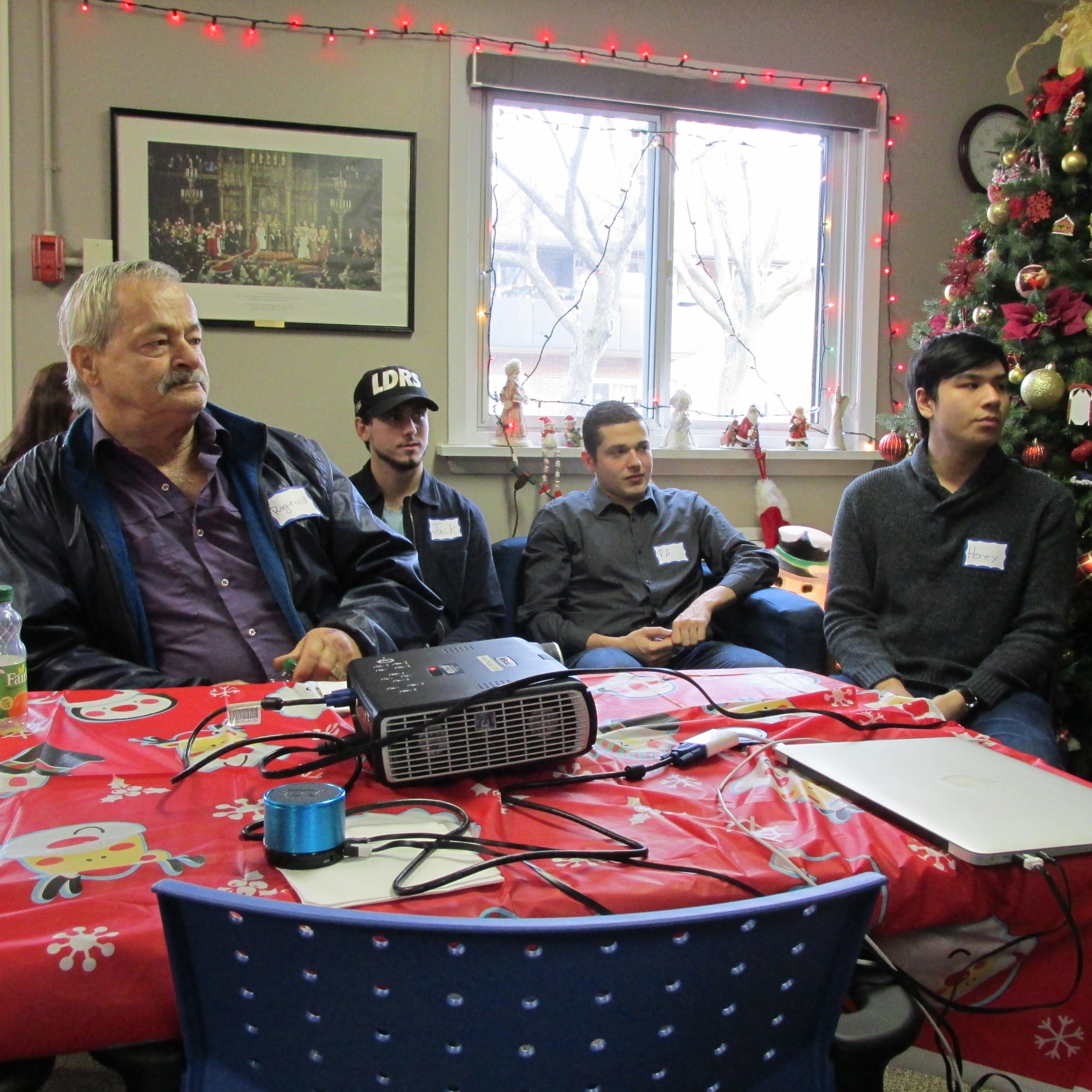
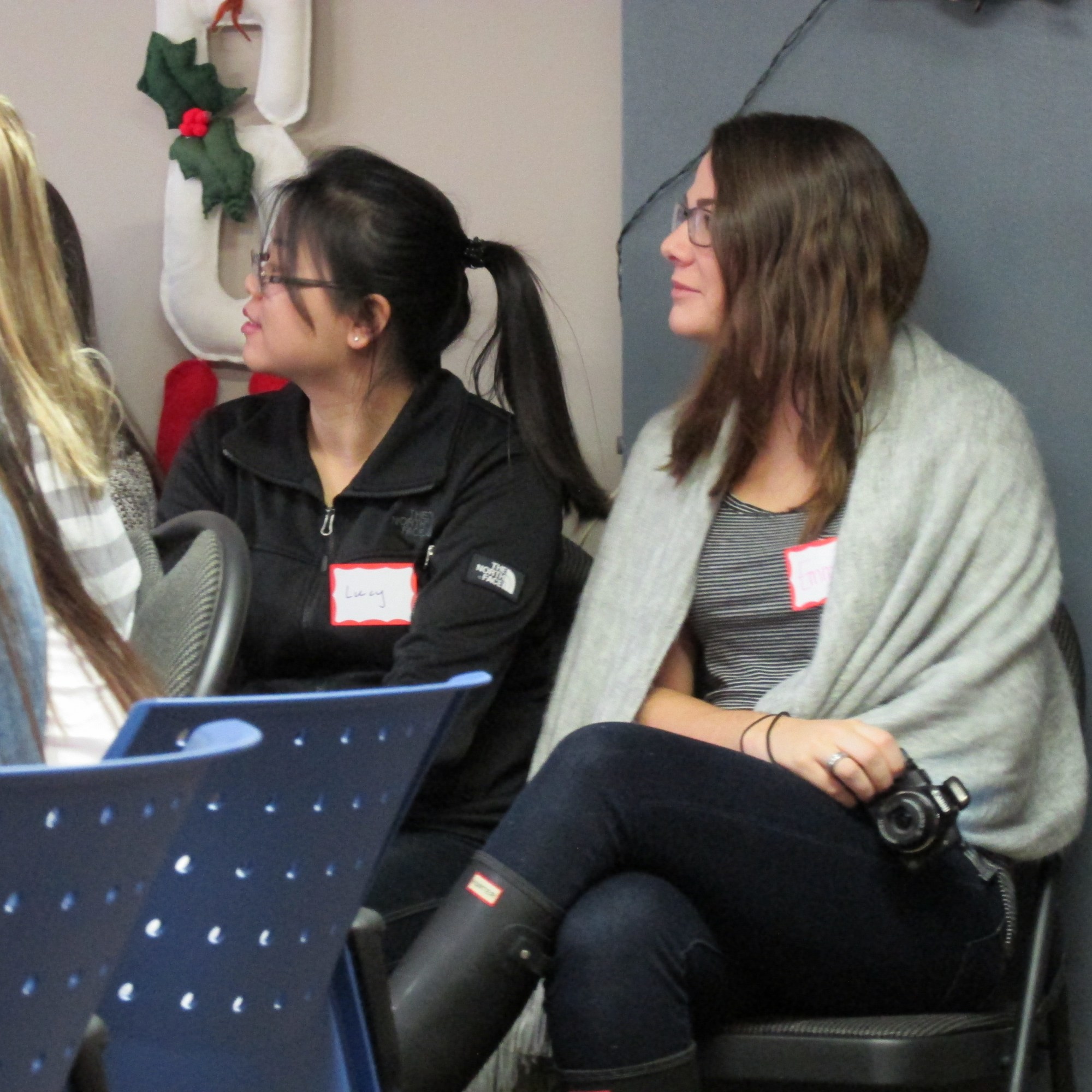
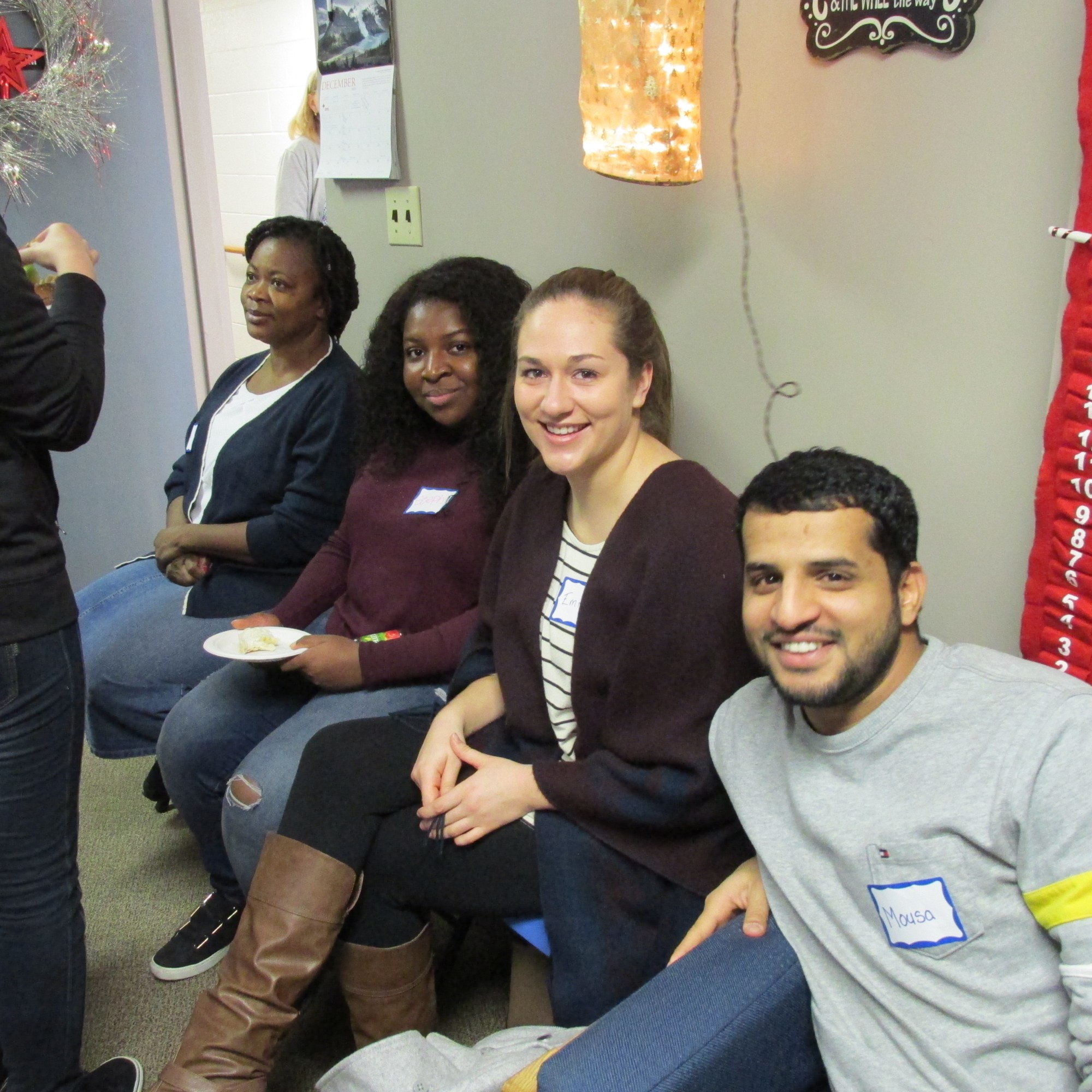
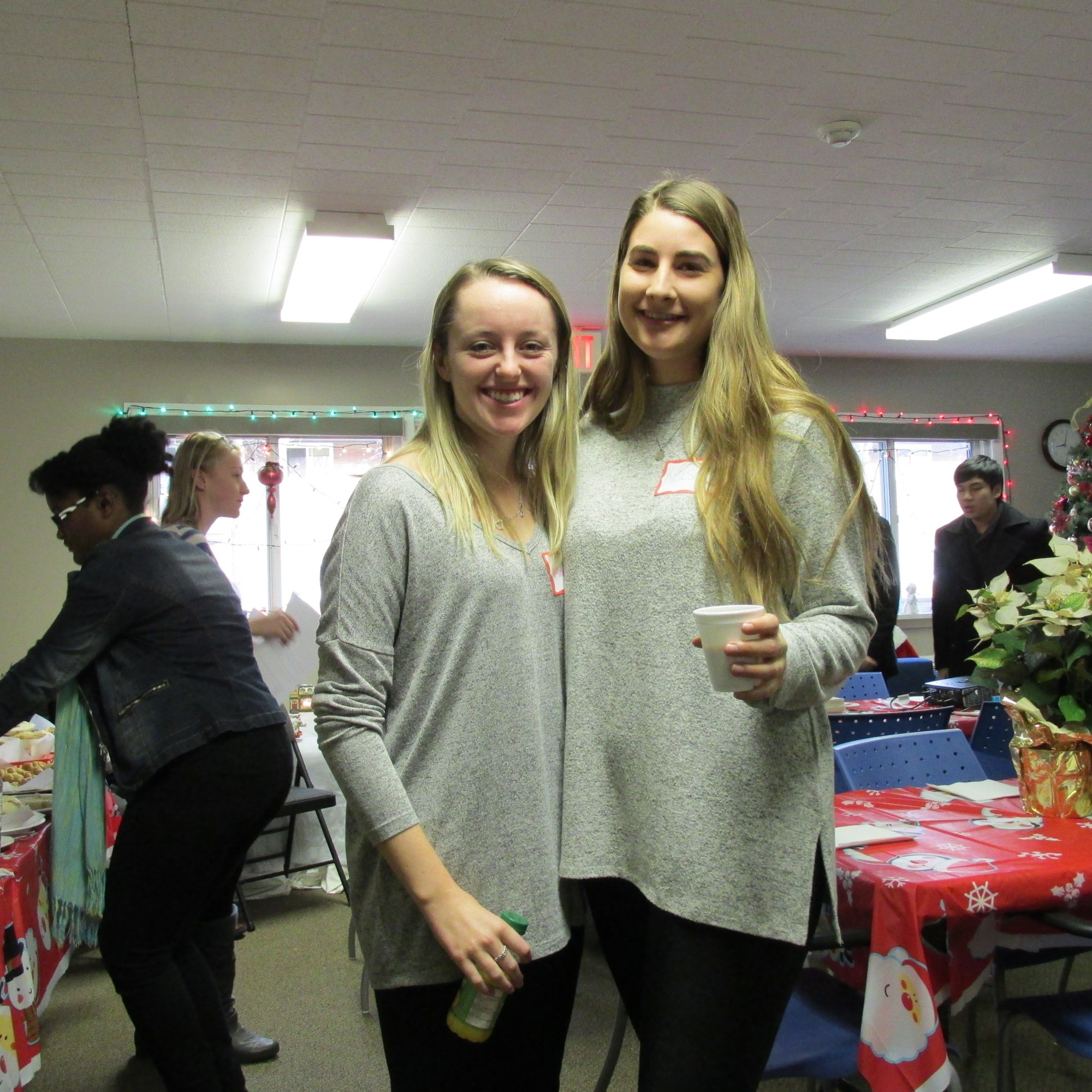
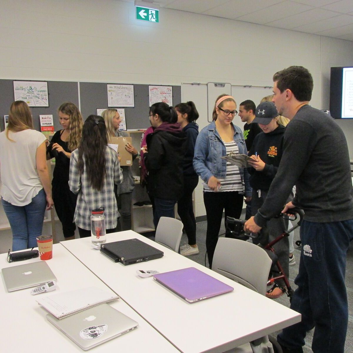
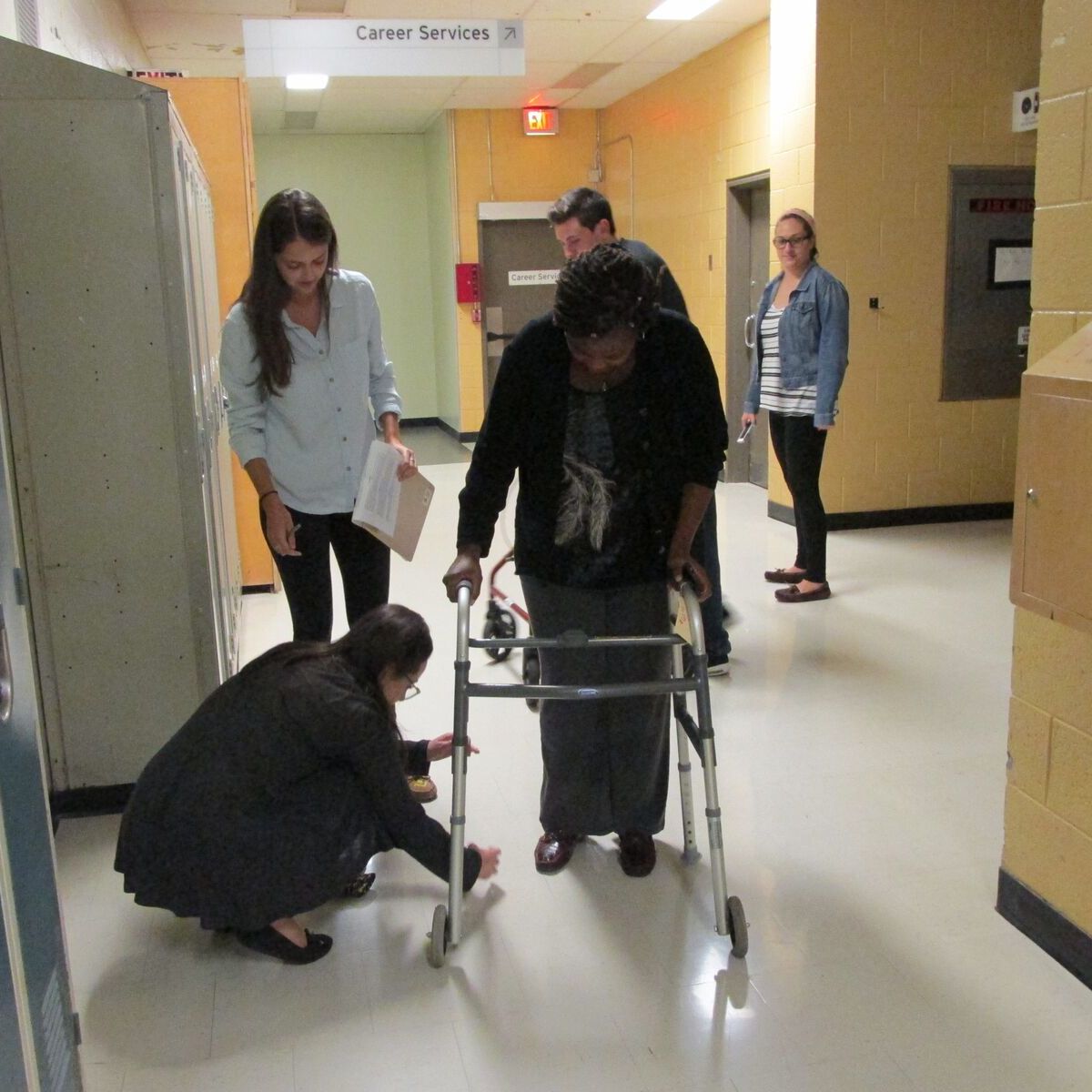
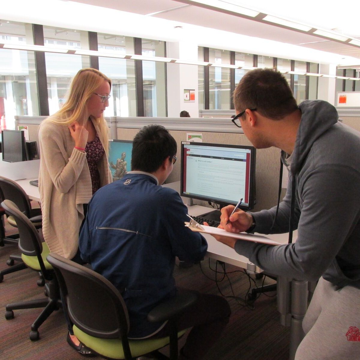
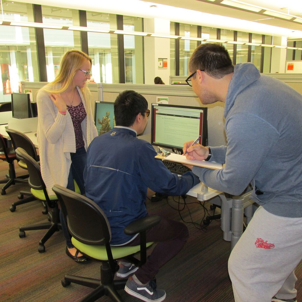
Photo Gallery